Distance to Hankins, New York

Calculating Your Route
Just a moment while we process your request...
Location Information
-
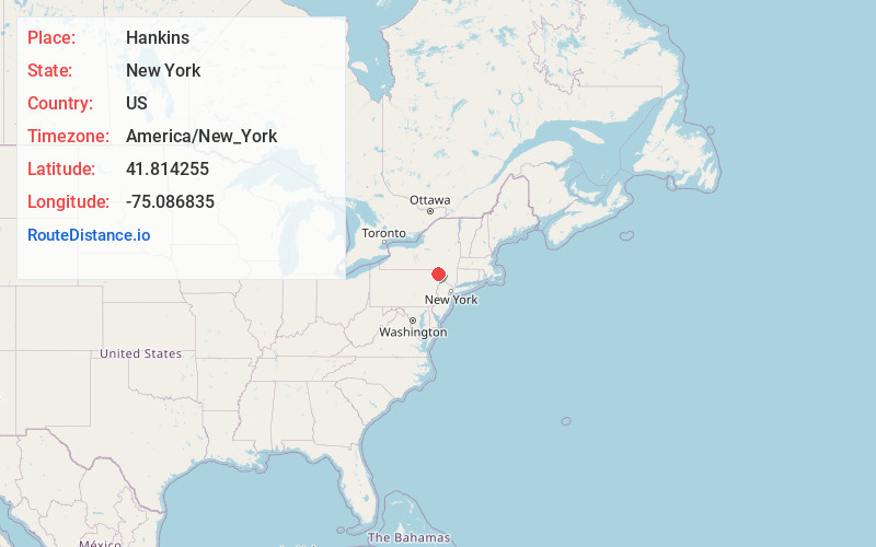
Full AddressHankins, NY
-
Coordinates41.8142548, -75.0868347
-
LocationHankins , New York , US
-
TimezoneAmerica/New_York
-
Current Local Time10:01:54 PM America/New_YorkWednesday, June 25, 2025
-
Page Views0
About Hankins
Hankins is a hamlet in Sullivan County, New York, United States. The community is located along New York State Route 97 and the Delaware River, 8.2 miles west-northwest of Jeffersonville. Hankins has a post office with ZIP code 12741.

Nearby Places
Found 10 places within 50 miles

Callicoon
3.6 mi
5.8 km
Callicoon, NY 12723
Get directions
Delaware
3.6 mi
5.8 km
Delaware, NY
Get directions

Hortonville
4.5 mi
7.2 km
Hortonville, NY
Get directions

Cochecton
7.6 mi
12.2 km
Cochecton, NY 12726
Get directions

Damascus
7.7 mi
12.4 km
Damascus, PA 18443
Get directions

Jeffersonville
8.2 mi
13.2 km
Jeffersonville, NY
Get directions
Lake Huntington
10.2 mi
16.4 km
Lake Huntington, NY
Get directions
Oregon Township
13.3 mi
21.4 km
Oregon Township, PA 18431
Get directions

Hancock
13.9 mi
22.4 km
Hancock, NY 13783
Get directions

Livingston Manor
14.6 mi
23.5 km
Livingston Manor, NY 12758
Get directions
Location Links
Local Weather
Weather Information
Coming soon!
Location Map
Static map view of Hankins, New York
Browse Places by Distance
Places within specific distances from Hankins
Short Distances
Long Distances
Click any distance to see all places within that range from Hankins. Distances shown in miles (1 mile ≈ 1.61 kilometers).