Distance to Hannibal, Ohio

Calculating Your Route
Just a moment while we process your request...
Location Information
-
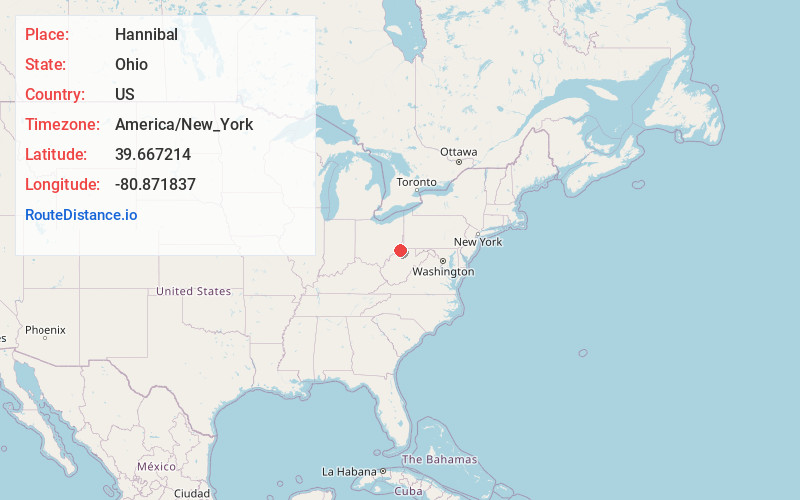
Full AddressHannibal, OH
-
Coordinates39.6672143, -80.8718372
-
LocationHannibal , Ohio , US
-
TimezoneAmerica/New_York
-
Current Local Time5:14:24 PM America/New_YorkThursday, June 19, 2025
-
Page Views0
About Hannibal
Hannibal is an unincorporated community and census-designated place in eastern Ohio Township, Monroe County, Ohio, United States. It has a post office with the ZIP code 43931. In the 2020 Census, it had a population of 314, down from 411 in 2010.


Nearby Places
Found 10 places within 50 miles

New Martinsville
1.7 mi
2.7 km
New Martinsville, WV 26155
Get directions

Sardis
3.8 mi
6.1 km
Sardis, OH 43946
Get directions

Paden City
5.6 mi
9.0 km
Paden City, WV
Get directions

Clarington
6.8 mi
10.9 km
Clarington, OH 43915
Get directions

Sistersville
9.7 mi
15.6 km
Sistersville, WV 26175
Get directions
Middlebourne
12.2 mi
19.6 km
Middlebourne, WV 26149
Get directions
Pine Grove
12.4 mi
20.0 km
Pine Grove, WV 26419
Get directions

Powhatan Point
13.7 mi
22.0 km
Powhatan Point, OH 43942
Get directions

Woodsfield
14.5 mi
23.3 km
Woodsfield, OH 43793
Get directions
Beallsville
15.3 mi
24.6 km
Beallsville, OH 43716
Get directions
Location Links
Local Weather
Weather Information
Coming soon!
Location Map
Static map view of Hannibal, Ohio
Browse Places by Distance
Places within specific distances from Hannibal
Short Distances
Long Distances
Click any distance to see all places within that range from Hannibal. Distances shown in miles (1 mile ≈ 1.61 kilometers).