Distance to Woodsfield, Ohio

Calculating Your Route
Just a moment while we process your request...
Location Information
-
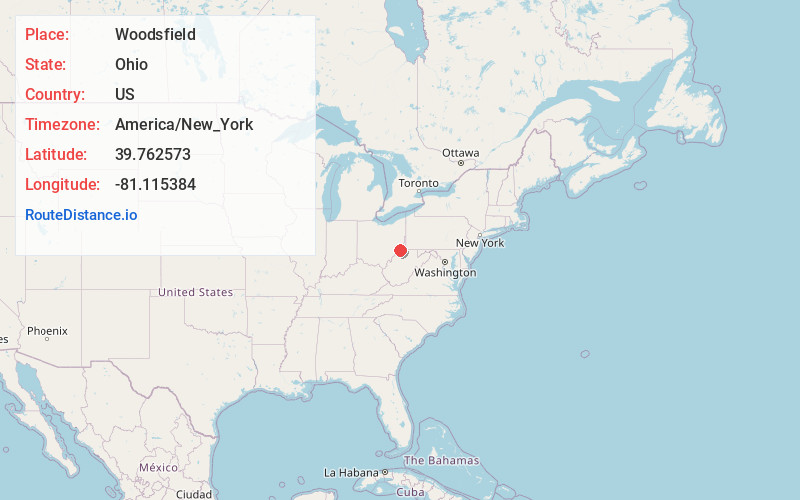
Full AddressWoodsfield, OH 43793
-
Coordinates39.7625729, -81.1153842
-
LocationWoodsfield , Ohio , US
-
TimezoneAmerica/New_York
-
Current Local Time3:53:26 PM America/New_YorkTuesday, June 10, 2025
-
Page Views0
About Woodsfield
Woodsfield is a village and the county seat of Monroe County, Ohio, United States, located about 30 miles northeast of Marietta. The population was 2,210 at the 2020 census.


Nearby Places
Found 10 places within 50 miles

Paden City
14.6 mi
23.5 km
Paden City, WV
Get directions

Barnesville
15.9 mi
25.6 km
Barnesville, OH 43713
Get directions

New Martinsville
15.9 mi
25.6 km
New Martinsville, WV 26155
Get directions

Moundsville
22.6 mi
36.4 km
Moundsville, WV 26041
Get directions

Shadyside
24.1 mi
38.8 km
Shadyside, OH 43947
Get directions

St Clairsville
24.7 mi
39.8 km
St Clairsville, OH 43950
Get directions

St Marys
25.7 mi
41.4 km
St Marys, WV 26170
Get directions

Bellaire
26.4 mi
42.5 km
Bellaire, OH 43906
Get directions

Devola
27.8 mi
44.7 km
Devola, OH 45750
Get directions

Wheeling
29.6 mi
47.6 km
Wheeling, WV 26003
Get directions
Location Links
Local Weather
Weather Information
Coming soon!
Location Map
Static map view of Woodsfield, Ohio
Browse Places by Distance
Places within specific distances from Woodsfield
Short Distances
Long Distances
Click any distance to see all places within that range from Woodsfield. Distances shown in miles (1 mile ≈ 1.61 kilometers).