Distance to Hanover, Kansas

Calculating Your Route
Just a moment while we process your request...
Location Information
-
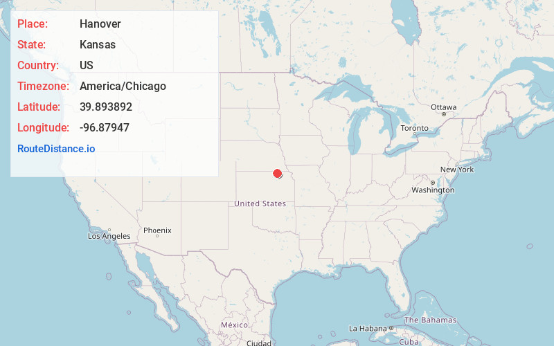
Full AddressHanover, KS
-
Coordinates39.8938922, -96.8794698
-
LocationHanover , Kansas , US
-
TimezoneAmerica/Chicago
-
Current Local Time11:20:58 AM America/ChicagoSunday, May 25, 2025
-
Page Views0
About Hanover
Hanover is a city in Washington County, Kansas, United States. As of the 2020 census, the population of the city was 690. It is located approximately 7.5 miles south of the Nebraska-Kansas state line.

Nearby Places
Found 10 places within 50 miles

Washington
10.5 mi
16.9 km
Washington, KS 66968
Get directions

Marysville
12.8 mi
20.6 km
Marysville, KS 66508
Get directions

Waterville
15.7 mi
25.3 km
Waterville, KS
Get directions
Blue Rapids
18.7 mi
30.1 km
Blue Rapids, KS 66411
Get directions
Wymore
19.5 mi
31.4 km
Wymore, NE
Get directions

Fairbury
23.6 mi
38.0 km
Fairbury, NE 68352
Get directions

Beatrice
26.6 mi
42.8 km
Beatrice, NE 68310
Get directions
Clyde
34.6 mi
55.7 km
Clyde, KS 66938
Get directions

Clay Center
38.0 mi
61.2 km
Clay Center, KS 67432
Get directions

Belleville
40.2 mi
64.7 km
Belleville, KS 66935
Get directions
Location Links
Local Weather
Weather Information
Coming soon!
Location Map
Static map view of Hanover, Kansas
Browse Places by Distance
Places within specific distances from Hanover
Short Distances
Long Distances
Click any distance to see all places within that range from Hanover. Distances shown in miles (1 mile ≈ 1.61 kilometers).