Distance to Hanoverdale, Pennsylvania

Calculating Your Route
Just a moment while we process your request...
Location Information
-
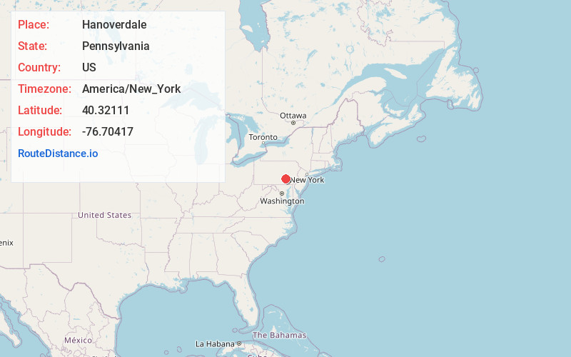
Full AddressHanoverdale, PA 17112
-
Coordinates40.32111, -76.70417
-
LocationHanoverdale , Pennsylvania , US
-
TimezoneAmerica/New_York
-
Current Local Time8:29:08 AM America/New_YorkTuesday, June 3, 2025
-
Page Views0
About Hanoverdale
Hanoverdale is an unincorporated community in West Hanover Township, Dauphin County, Pennsylvania, United States, and is part of the Harrisburg-Carlisle Metropolitan Statistical Area.
Hanoverdale is located southeast of Skyline View at the intersection of Hershey Road and Devonshire Heights Road.
Nearby Places
Found 10 places within 50 miles

South Hanover Township
1.5 mi
2.4 km
South Hanover Township, PA
Get directions

Skyline View
1.7 mi
2.7 km
Skyline View, PA 17112
Get directions
Union Deposit
2.4 mi
3.9 km
Union Deposit, PA 17033
Get directions
Hoernerstown
2.6 mi
4.2 km
Hoernerstown, PA 17036
Get directions

West Hanover Township
3.7 mi
6.0 km
West Hanover Township, PA
Get directions

Hershey
3.7 mi
6.0 km
Hershey, PA
Get directions

Hummelstown
3.9 mi
6.3 km
Hummelstown, PA 17036
Get directions

Linglestown
4.6 mi
7.4 km
Linglestown, PA 17112
Get directions
Lower Paxton Township
4.7 mi
7.6 km
Lower Paxton Township, PA
Get directions
Paxtonia
4.8 mi
7.7 km
Paxtonia, PA 17112
Get directions
Location Links
Local Weather
Weather Information
Coming soon!
Location Map
Static map view of Hanoverdale, Pennsylvania
Browse Places by Distance
Places within specific distances from Hanoverdale
Short Distances
Long Distances
Click any distance to see all places within that range from Hanoverdale. Distances shown in miles (1 mile ≈ 1.61 kilometers).