Distance to Hard Rock Cafe, Louisiana

Calculating Your Route
Just a moment while we process your request...
Location Information
-
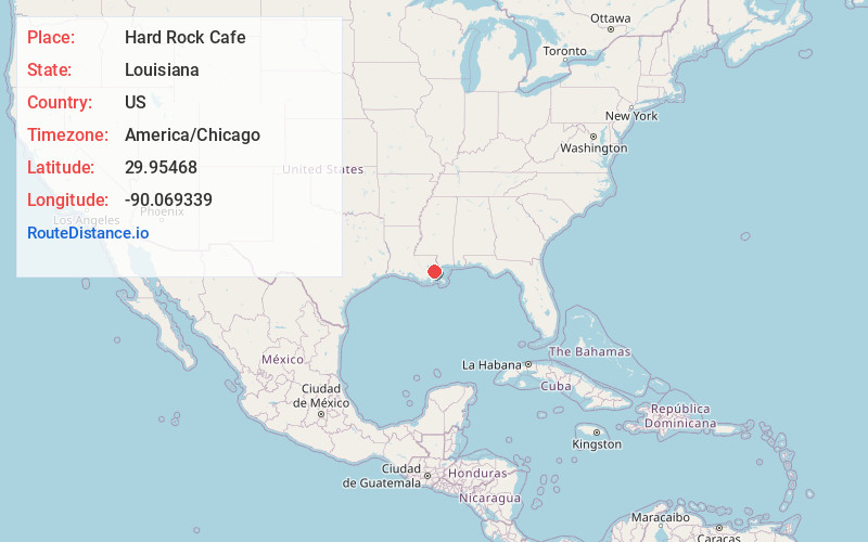
Full AddressHard Rock Cafe, 125 Bourbon St, New Orleans, LA 70130
-
Coordinates29.9546796, -90.069339
-
Street125 Bourbon St
-
NeighborhoodCentral Business District
-
LocationNew Orleans , Louisiana , US
-
TimezoneAmerica/Chicago
-
Current Local Time11:20:37 PM America/ChicagoThursday, June 12, 2025
-
Page Views0
About Hard Rock Cafe
Rock ’n’ roll-themed chain with a high-energy vibe serving burgers & American classics.


Nearby Places
Found 10 places within 50 miles

New Orleans
0.5 mi
0.8 km
New Orleans, LA
Get directions

Gretna
2.9 mi
4.7 km
Gretna, LA
Get directions

Harvey
3.6 mi
5.8 km
Harvey, LA
Get directions

Terrytown
3.8 mi
6.1 km
Terrytown, LA
Get directions

Arabi
3.8 mi
6.1 km
Arabi, LA 70032
Get directions

Marrero
4.2 mi
6.8 km
Marrero, LA 70072
Get directions

Southport
4.4 mi
7.1 km
Southport, Jefferson, LA 70121
Get directions
St Claude Heights
4.5 mi
7.2 km
St Claude Heights, Arabi, LA 70032
Get directions

Jefferson
5.1 mi
8.2 km
Jefferson, LA 70121
Get directions
Walkertown
5.2 mi
8.4 km
Walkertown, Marrero, LA 70072
Get directions
Location Links
Local Weather
Weather Information
Coming soon!
Location Map
Static map view of Hard Rock Cafe, Louisiana
Browse Places by Distance
Places within specific distances from Hard Rock Cafe
Short Distances
Long Distances
Click any distance to see all places within that range from Hard Rock Cafe. Distances shown in miles (1 mile ≈ 1.61 kilometers).