Distance to Hargis, Kentucky

Calculating Your Route
Just a moment while we process your request...
Location Information
-
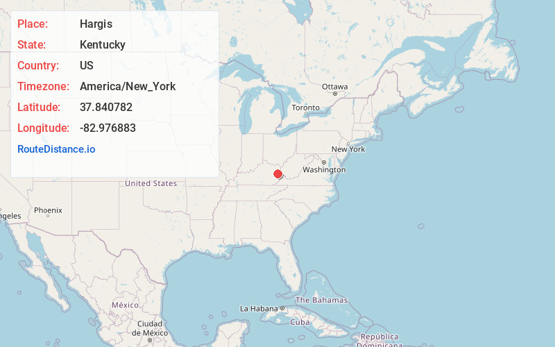
Full AddressHargis, KY 41238
-
Coordinates37.840782, -82.976883
-
LocationHargis , Kentucky , US
-
TimezoneAmerica/New_York
-
Current Local Time11:01:06 AM America/New_YorkMonday, June 23, 2025
-
Page Views0
About Hargis
Hargis is an unincorporated community in Johnson County, Kentucky, United States. It is located at an elevation of 915 feet. It is located in the ZIP Code Tabulation Area for ZIP code 41238.
Nearby Places
Found 10 places within 50 miles

Wheelersburg
2.1 mi
3.4 km
Wheelersburg, KY 41465
Get directions
Leatha
2.7 mi
4.3 km
Leatha, KY 41465
Get directions
Flat Fork
2.8 mi
4.5 km
Flat Fork, KY 41465
Get directions
Manila
3.4 mi
5.5 km
Manila, KY 41256
Get directions
Grayfox
4.7 mi
7.6 km
Grayfox, KY 41465
Get directions
Cyrus
4.7 mi
7.6 km
Cyrus, KY 41465
Get directions
Elna
4.7 mi
7.6 km
Elna, KY 41238
Get directions
Barnetts Creek
5.4 mi
8.7 km
Barnetts Creek, KY 41256
Get directions
Volga
6.0 mi
9.7 km
Volga, KY 41219
Get directions
Plutarch
6.1 mi
9.8 km
Plutarch, KY 41465
Get directions
Location Links
Local Weather
Weather Information
Coming soon!
Location Map
Static map view of Hargis, Kentucky
Browse Places by Distance
Places within specific distances from Hargis
Short Distances
Long Distances
Click any distance to see all places within that range from Hargis. Distances shown in miles (1 mile ≈ 1.61 kilometers).