Distance to Flat Fork, Kentucky

Calculating Your Route
Just a moment while we process your request...
Location Information
-
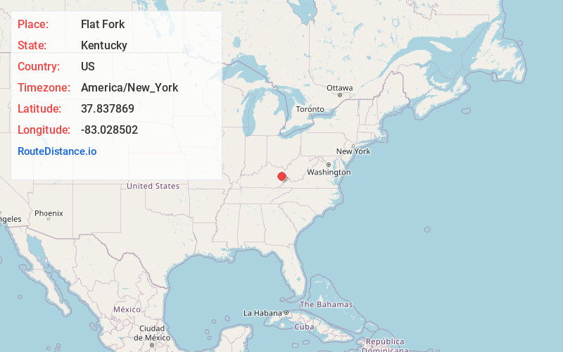
Full AddressFlat Fork, KY 41465
-
Coordinates37.8378687, -83.0285021
-
LocationFlat Fork , Kentucky , US
-
TimezoneAmerica/New_York
-
Current Local Time1:55:07 PM America/New_YorkTuesday, July 1, 2025
-
Page Views0
About Flat Fork
Flat Fork is an unincorporated community within Magoffin County, Kentucky, United States.
A post office was established in the community in 1934 and named for a fork in the nearby Little Paint Creek.
Nearby Places
Found 10 places within 50 miles

Salyersville
6.3 mi
10.1 km
Salyersville, KY 41465
Get directions

Dingus
6.3 mi
10.1 km
Dingus, KY 41472
Get directions
Barnetts Creek
8.2 mi
13.2 km
Barnetts Creek, KY 41256
Get directions
Mason
8.2 mi
13.2 km
Mason, KY 41465
Get directions
Swamp Branch
10.1 mi
16.3 km
Swamp Branch, KY 41240
Get directions

Flatgap
10.2 mi
16.4 km
Flatgap, KY 41219
Get directions
Royalton
11.2 mi
18.0 km
Royalton, KY 41465
Get directions

Paintsville
12.2 mi
19.6 km
Paintsville, KY
Get directions
Mazie
13.4 mi
21.6 km
Mazie, KY 41159
Get directions
Carver
13.6 mi
21.9 km
Carver, KY 41465
Get directions
Location Links
Local Weather
Weather Information
Coming soon!
Location Map
Static map view of Flat Fork, Kentucky
Browse Places by Distance
Places within specific distances from Flat Fork
Short Distances
Long Distances
Click any distance to see all places within that range from Flat Fork. Distances shown in miles (1 mile ≈ 1.61 kilometers).