Distance to Flatgap, Kentucky

Calculating Your Route
Just a moment while we process your request...
Location Information
-
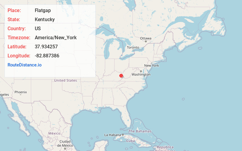
Full AddressFlatgap, KY 41219
-
Coordinates37.9342572, -82.8873857
-
LocationFlatgap , Kentucky , US
-
TimezoneAmerica/New_York
-
Current Local Time7:30:25 PM America/New_YorkSunday, June 22, 2025
-
Page Views0
About Flatgap
Flat Gap is an unincorporated community in Johnson County, Kentucky, United States. The community was named after the "flat gap" formed at the divide between the Lower Laurel and Mudlick Creeks. Flat Gap's first post office was established on February 26, 1873, with Henry Jayne as postmaster. Its ZIP code is 41219.


Nearby Places
Found 10 places within 50 miles

Blaine
6.9 mi
11.1 km
Blaine, KY 41124
Get directions

Paintsville
9.4 mi
15.1 km
Paintsville, KY
Get directions

Ledocio
11.5 mi
18.5 km
Ledocio, KY 41230
Get directions
Chestnut
11.7 mi
18.8 km
Chestnut, KY 41240
Get directions
Dingus
11.8 mi
19.0 km
Dingus, KY 41472
Get directions
Roscoe
13.2 mi
21.2 km
Roscoe, KY 41171
Get directions

Van Lear
13.3 mi
21.4 km
Van Lear, KY
Get directions
Swamp Branch
13.7 mi
22.0 km
Swamp Branch, KY 41240
Get directions
Auxier
15.6 mi
25.1 km
Auxier, KY
Get directions
Dobbins
15.6 mi
25.1 km
Dobbins, KY 41180
Get directions
Location Links
Local Weather
Weather Information
Coming soon!
Location Map
Static map view of Flatgap, Kentucky
Browse Places by Distance
Places within specific distances from Flatgap
Short Distances
Long Distances
Click any distance to see all places within that range from Flatgap. Distances shown in miles (1 mile ≈ 1.61 kilometers).