Distance to Harmony, Arkansas

Calculating Your Route
Just a moment while we process your request...
Location Information
-
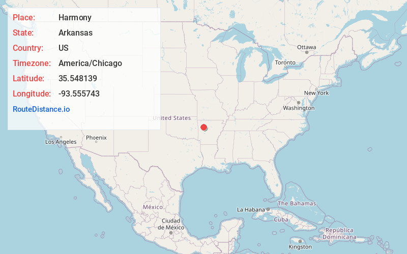
Full AddressHarmony, AR 72830
-
Coordinates35.5481385, -93.5557426
-
LocationArkansas , US
-
TimezoneAmerica/Chicago
-
Current Local Time12:17:59 PM America/ChicagoFriday, June 20, 2025
-
Page Views0
About Harmony
Harmony is an unincorporated community located along Arkansas Highway 103 in Johnson County, Arkansas, United States. It is the location of Harmony Presbyterian Church, which is a historic church listed on the National Register of Historic Places.
Nearby Places
Found 10 places within 50 miles

Hunt
5.9 mi
9.5 km
Hunt, AR 72840
Get directions

Clarksville
7.2 mi
11.6 km
Clarksville, AR 72830
Get directions

Hinkle
8.5 mi
13.7 km
Hinkle, AR 72840
Get directions
Farris Springs
8.5 mi
13.7 km
Farris Springs, Arkansas 72854
Get directions
Hartman
8.6 mi
13.8 km
Hartman, AR 72840
Get directions
New Spadra
9.1 mi
14.6 km
New Spadra, AR 72830
Get directions
Spadra
9.2 mi
14.8 km
Spadra, AR 72830
Get directions

Oark
9.8 mi
15.8 km
Oark, AR
Get directions

Coal Hill
10.1 mi
16.3 km
Coal Hill, AR
Get directions
Morrison Bluff
11.3 mi
18.2 km
Morrison Bluff, AR 72863
Get directions
Location Links
Local Weather
Weather Information
Coming soon!
Location Map
Static map view of Harmony, Arkansas
Browse Places by Distance
Places within specific distances from Harmony
Short Distances
Long Distances
Click any distance to see all places within that range from Harmony. Distances shown in miles (1 mile ≈ 1.61 kilometers).