Distance to Harold Parker State Forest, Massachusetts

Calculating Your Route
Just a moment while we process your request...
Location Information
-
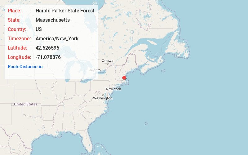
Full AddressHarold Parker State Forest, 133 Jenkins Rd, Andover, MA 01810
-
Coordinates42.6265955, -71.0788756
-
Street133 Jenkins Rd
-
LocationAndover , Massachusetts , US
-
TimezoneAmerica/New_York
-
Current Local Time12:49:56 AM America/New_YorkSunday, June 15, 2025
-
Page Views0
About Harold Parker State Forest
Tranquil natural area with trails for hiking & biking, plus camping, picnicking & fishing areas.


Nearby Places
Found 10 places within 50 miles

Boxford Station
1.7 mi
2.7 km
Boxford Station, North Andover, MA 01845
Get directions

North Reading
3.6 mi
5.8 km
North Reading, MA 01864
Get directions
Marble Ridge Station
3.8 mi
6.1 km
Marble Ridge Station, North Andover, MA 01845
Get directions
East Parish
4.1 mi
6.6 km
East Parish, Boxford, MA 01921
Get directions

Andover
4.2 mi
6.8 km
Andover, MA
Get directions
Brigadoon Village
4.4 mi
7.1 km
Brigadoon Village, Middleton, MA 01949
Get directions
Shawsheen Village
4.6 mi
7.4 km
Shawsheen Village, Andover, MA 01810
Get directions
South Middleton
4.6 mi
7.4 km
South Middleton, Middleton, MA 01949
Get directions
Howe
4.7 mi
7.6 km
Howe, Middleton, MA 01949
Get directions

Boxford
4.7 mi
7.6 km
Boxford, MA
Get directions
Location Links
Local Weather
Weather Information
Coming soon!
Location Map
Static map view of Harold Parker State Forest, Massachusetts
Browse Places by Distance
Places within specific distances from Harold Parker State Forest
Short Distances
Long Distances
Click any distance to see all places within that range from Harold Parker State Forest. Distances shown in miles (1 mile ≈ 1.61 kilometers).