Distance to Harper Crossroads, South Carolina

Calculating Your Route
Just a moment while we process your request...
Location Information
-
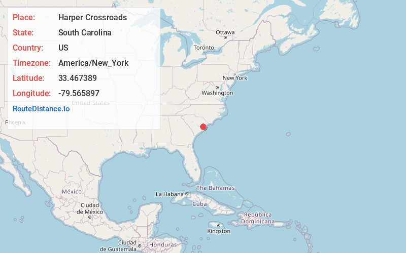
Full AddressHarper Crossroads, SC 29510
-
Coordinates33.467389, -79.5658971
-
LocationSouth Carolina , US
-
TimezoneAmerica/New_York
-
Current Local Time6:54:53 PM America/New_YorkWednesday, July 2, 2025
-
Page Views0
Nearby Places
Found 10 places within 50 miles

Andrews
1.1 mi
1.8 km
Andrews, SC 29510
Get directions

Italy
1.9 mi
3.1 km
Italy, SC 29510
Get directions
Warsaw
3.0 mi
4.8 km
Warsaw, SC 29510
Get directions
Puncheon Creek
3.6 mi
5.8 km
Puncheon Creek, SC 29510
Get directions
Earle
4.1 mi
6.6 km
Earle, SC 29510
Get directions
Pleasant Grove
4.7 mi
7.6 km
Pleasant Grove, SC 29510
Get directions
Tisdale
5.4 mi
8.7 km
Tisdale, SC 29510
Get directions
Kent
5.5 mi
8.9 km
Kent, SC 29510
Get directions
Bloomingvale
6.2 mi
10.0 km
Bloomingvale, SC 29510
Get directions
Cooper
7.3 mi
11.7 km
Cooper, SC 29510
Get directions
Location Links
Local Weather
Weather Information
Coming soon!
Location Map
Static map view of Harper Crossroads, South Carolina
Browse Places by Distance
Places within specific distances from Harper Crossroads
Short Distances
Long Distances
Click any distance to see all places within that range from Harper Crossroads. Distances shown in miles (1 mile ≈ 1.61 kilometers).