Distance to Harpers Crossroads, North Carolina

Calculating Your Route
Just a moment while we process your request...
Location Information
-
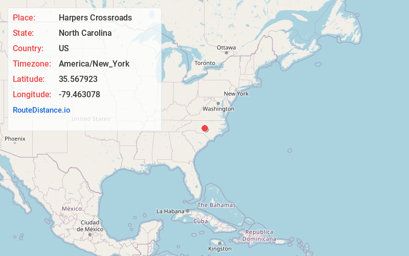
Full AddressHarpers Crossroads, NC 27207
-
Coordinates35.5679226, -79.4630783
-
LocationHarpers Crossroads , North Carolina , US
-
TimezoneAmerica/New_York
-
Current Local Time4:56:38 AM America/New_YorkWednesday, June 18, 2025
-
Page Views0
About Harpers Crossroads
Harpers Crossroads is an unincorporated community in Chatham County, North Carolina, United States. It is located at the intersection of State Highway 902, and Siler City Glendon Rd.
Nearby Places
Found 10 places within 50 miles

Bennett
4.5 mi
7.2 km
Bennett, NC 27208
Get directions

Cheeks
7.0 mi
11.3 km
Cheeks, NC 27316
Get directions
Mt Vernon Springs
7.2 mi
11.6 km
Mt Vernon Springs, NC 27207
Get directions
McConnell
7.6 mi
12.2 km
McConnell, NC 27325
Get directions

Goldston
7.8 mi
12.6 km
Goldston, NC 27252
Get directions
Putnam
8.5 mi
13.7 km
Putnam, NC 28327
Get directions

Gulf
10.1 mi
16.3 km
Gulf, NC
Get directions

Siler City
10.7 mi
17.2 km
Siler City, NC 27344
Get directions
Jugtown
11.3 mi
18.2 km
Jugtown, NC 27341
Get directions

Robbins
11.6 mi
18.7 km
Robbins, NC
Get directions
Location Links
Local Weather
Weather Information
Coming soon!
Location Map
Static map view of Harpers Crossroads, North Carolina
Browse Places by Distance
Places within specific distances from Harpers Crossroads
Short Distances
Long Distances
Click any distance to see all places within that range from Harpers Crossroads. Distances shown in miles (1 mile ≈ 1.61 kilometers).