Distance to Harriet, Texas

Calculating Your Route
Just a moment while we process your request...
Location Information
-
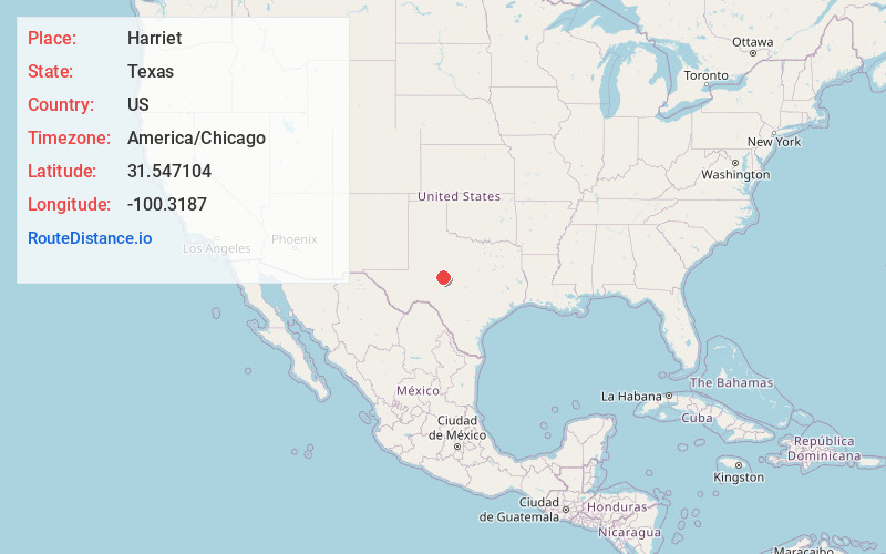
Full AddressHarriet, TX 76905
-
Coordinates31.5471041, -100.3187004
-
LocationTexas , US
-
TimezoneAmerica/Chicago
-
Current Local Time7:32:28 AM America/ChicagoMonday, June 2, 2025
-
Page Views0
About Harriet
Harriett, is an unincorporated community in northeastern Tom Green County in the U.S. state of Texas. It is part of the San Angelo, Texas Metropolitan Statistical Area and is situated next to U.S. Highway 67.
A post office was established in 1909 in what would later be Harriett, with Charles P. Lovelace as postmaster.
Nearby Places
Found 10 places within 50 miles

Orient
7.6 mi
12.2 km
Orient, TX 76905
Get directions

Miles
8.7 mi
14.0 km
Miles, TX 76861
Get directions

San Angelo
9.0 mi
14.5 km
San Angelo, TX
Get directions

Wall
12.0 mi
19.3 km
Wall, TX 76905
Get directions

Mereta
12.2 mi
19.6 km
Mereta, TX
Get directions
Grape Creek
13.5 mi
21.7 km
Grape Creek, TX 76901
Get directions
Tennyson
13.6 mi
21.9 km
Tennyson, TX 76933
Get directions
Lowake
14.4 mi
23.2 km
Lowake, TX 76875
Get directions
Vancourt
16.4 mi
26.4 km
Vancourt, TX 76955
Get directions

Eola
17.0 mi
27.4 km
Eola, TX
Get directions
Location Links
Local Weather
Weather Information
Coming soon!
Location Map
Static map view of Harriet, Texas
Browse Places by Distance
Places within specific distances from Harriet
Short Distances
Long Distances
Click any distance to see all places within that range from Harriet. Distances shown in miles (1 mile ≈ 1.61 kilometers).