Distance to Wall, Texas

Calculating Your Route
Just a moment while we process your request...
Location Information
-
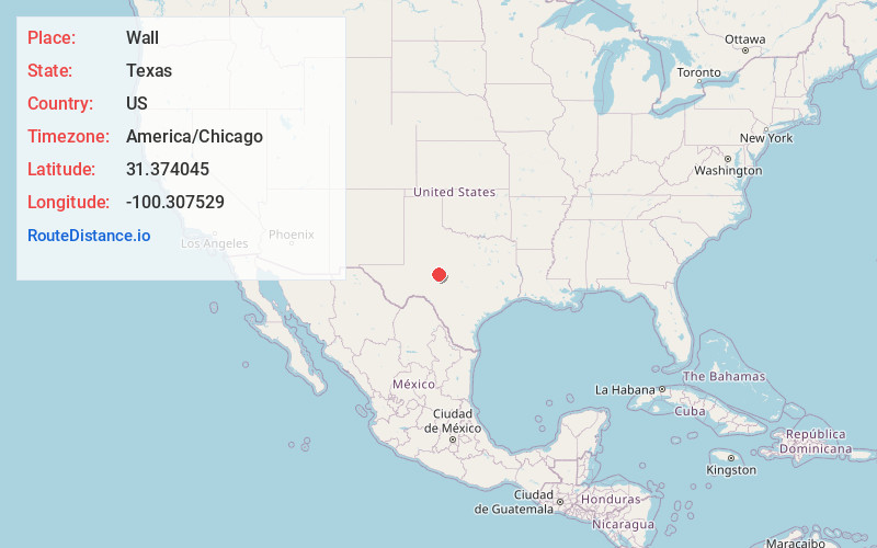
Full AddressWall, TX 76905
-
Coordinates31.3740447, -100.3075293
-
LocationWall , Texas , US
-
TimezoneAmerica/Chicago
-
Current Local Time6:50:48 PM America/ChicagoThursday, June 5, 2025
-
Page Views0
About Wall
Wall is an unincorporated community in Tom Green County, Texas, United States. According to the Handbook of Texas, the community had an estimated population of 200 in 2000. The community is part of the San Angelo, Texas Metropolitan Statistical Area.


Nearby Places
Found 10 places within 50 miles

San Angelo
9.8 mi
15.8 km
San Angelo, TX
Get directions

Vick
12.9 mi
20.8 km
Vick, TX 76955
Get directions

Christoval
16.8 mi
27.0 km
Christoval, TX 76935
Get directions

Miles
17.1 mi
27.5 km
Miles, TX 76861
Get directions
Grape Creek
20.4 mi
32.8 km
Grape Creek, TX 76901
Get directions
Rowena
24.4 mi
39.3 km
Rowena, TX 76875
Get directions

Paint Rock
24.7 mi
39.8 km
Paint Rock, TX 76866
Get directions

Carlsbad
25.5 mi
41.0 km
Carlsbad, TX
Get directions
Olfen
26.1 mi
42.0 km
Olfen, TX 76875
Get directions

Concho County
29.3 mi
47.2 km
Concho County, TX
Get directions
Location Links
Local Weather
Weather Information
Coming soon!
Location Map
Static map view of Wall, Texas
Browse Places by Distance
Places within specific distances from Wall
Short Distances
Long Distances
Click any distance to see all places within that range from Wall. Distances shown in miles (1 mile ≈ 1.61 kilometers).