Distance to Harriet, Arkansas

Calculating Your Route
Just a moment while we process your request...
Location Information
-
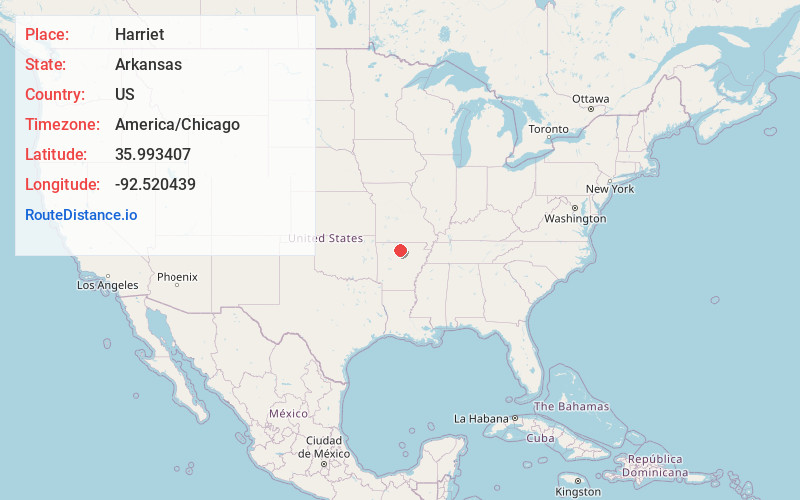
Full AddressHarriet, AR 72639
-
Coordinates35.9934068, -92.5204394
-
LocationHarriet , Arkansas , US
-
TimezoneAmerica/Chicago
-
Current Local Time5:29:30 AM America/ChicagoSunday, June 22, 2025
-
Page Views0
About Harriet
Harriet is an unincorporated community in Searcy County, Arkansas, United States. Harriet is located at the junction of Arkansas highways 14 and 27, 8.5 miles northeast of Marshall. Harriet has a post office with ZIP code 72639.
Nearby Places
Found 10 places within 50 miles

Cozahome
3.7 mi
6.0 km
Cozahome, AR 72639
Get directions
Morning Star
4.4 mi
7.1 km
Morning Star, AR 72650
Get directions

Big Flat
6.5 mi
10.5 km
Big Flat, AR 72617
Get directions

Marshall
8.5 mi
13.7 km
Marshall, AR 72650
Get directions
Hickory Grove Creek
9.7 mi
15.6 km
Hickory Grove Creek, Arkansas 72663
Get directions
Elberta
10.0 mi
16.1 km
Elberta, AR 72645
Get directions

Gilbert
10.9 mi
17.5 km
Gilbert, AR
Get directions

Leslie
11.5 mi
18.5 km
Leslie, AR 72645
Get directions
Onia
12.0 mi
19.3 km
Onia, AR 72663
Get directions
Harness
12.2 mi
19.6 km
Harness, AR 72645
Get directions
Location Links
Local Weather
Weather Information
Coming soon!
Location Map
Static map view of Harriet, Arkansas
Browse Places by Distance
Places within specific distances from Harriet
Short Distances
Long Distances
Click any distance to see all places within that range from Harriet. Distances shown in miles (1 mile ≈ 1.61 kilometers).