Distance to Harshaw, Arizona

Calculating Your Route
Just a moment while we process your request...
Location Information
-
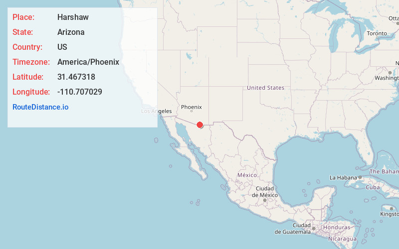
Full AddressHarshaw, AZ 85624
-
Coordinates31.4673182, -110.707029
-
LocationHarshaw , Arizona , US
-
TimezoneAmerica/Phoenix
-
Current Local Time5:16:48 AM America/PhoenixWednesday, May 21, 2025
-
Page Views0
About Harshaw
Harshaw is a ghost town in Santa Cruz County in the southeastern part of the U.S. state of Arizona. The town was settled in the 1870s, in what was then Arizona Territory.


Nearby Places
Found 10 places within 50 miles

Patagonia
5.8 mi
9.3 km
Patagonia, AZ 85624
Get directions

Washington Camp
6.0 mi
9.7 km
Washington Camp, AZ 85624
Get directions

Duquesne
6.8 mi
10.9 km
Duquesne, AZ 85624
Get directions

San Rafael Valley
9.3 mi
15.0 km
San Rafael Valley, Arizona 85624
Get directions
Kino Springs
9.4 mi
15.1 km
Kino Springs, AZ 85621
Get directions
Beyerville
11.4 mi
18.3 km
Beyerville, AZ 85621
Get directions

Sonoita
15.0 mi
24.1 km
Sonoita, AZ 85637
Get directions

Rio Rico
15.7 mi
25.3 km
Rio Rico, AZ 85648
Get directions
Calabasas
15.8 mi
25.4 km
Calabasas, Rio Rico, AZ 85648
Get directions

Nogales
16.0 mi
25.7 km
Nogales, AZ 85621
Get directions
Location Links
Local Weather
Weather Information
Coming soon!
Location Map
Static map view of Harshaw, Arizona
Browse Places by Distance
Places within specific distances from Harshaw
Short Distances
Long Distances
Click any distance to see all places within that range from Harshaw. Distances shown in miles (1 mile ≈ 1.61 kilometers).