Distance to Sonoita, Arizona

Calculating Your Route
Just a moment while we process your request...
Location Information
-
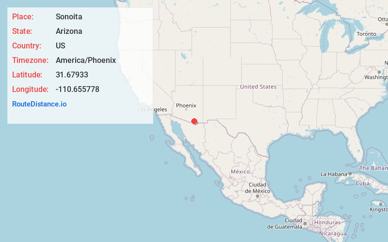
Full AddressSonoita, AZ 85637
-
Coordinates31.6793295, -110.6557777
-
LocationSonoita , Arizona , US
-
TimezoneAmerica/Phoenix
-
Current Local Time9:30:32 AM America/PhoenixFriday, June 20, 2025
-
Page Views0
About Sonoita
Sonoita is a census-designated place in Santa Cruz County, Arizona, United States. The population was 803 at the 2020 census.
The origin of the name of the CDP is the O'odham Ṣon ʼOidag, which may be best translated as "spring field".


Nearby Places
Found 10 places within 50 miles

Patagonia
11.3 mi
18.2 km
Patagonia, AZ 85624
Get directions

Whetstone
18.8 mi
30.3 km
Whetstone, AZ
Get directions

Huachuca City
19.2 mi
30.9 km
Huachuca City, AZ 85616
Get directions

Vail
22.4 mi
36.0 km
Vail, AZ 85641
Get directions

Green Valley
23.2 mi
37.3 km
Green Valley, AZ
Get directions

Tubac
23.4 mi
37.7 km
Tubac, AZ
Get directions

Sierra Vista
23.8 mi
38.3 km
Sierra Vista, AZ
Get directions

Rio Rico
23.8 mi
38.3 km
Rio Rico, AZ 85648
Get directions

Mescal
24.0 mi
38.6 km
Mescal, AZ 85602
Get directions

Sahuarita
26.1 mi
42.0 km
Sahuarita, AZ
Get directions
Location Links
Local Weather
Weather Information
Coming soon!
Location Map
Static map view of Sonoita, Arizona
Browse Places by Distance
Places within specific distances from Sonoita
Short Distances
Long Distances
Click any distance to see all places within that range from Sonoita. Distances shown in miles (1 mile ≈ 1.61 kilometers).