Distance to Mescal, Arizona

Calculating Your Route
Just a moment while we process your request...
Location Information
-
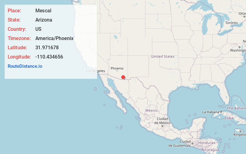
Full AddressMescal, AZ 85602
-
Coordinates31.9716776, -110.4346561
-
LocationMescal , Arizona , US
-
TimezoneAmerica/Phoenix
-
Current Local Time3:43:37 PM America/PhoenixWednesday, June 18, 2025
-
Page Views0
About Mescal
Mescal is a Census-designated place located in Cochise County, Arizona, United States.
Mescal was originally a populated place, at a rail station on the Southern Pacific Railroad at an elevation of 4,085 feet. The modern community lies to the south of the railroad near Interstate 10, at 4,170 feet.


Nearby Places
Found 10 places within 50 miles

Benson
8.2 mi
13.2 km
Benson, AZ
Get directions

Vail
15.7 mi
25.3 km
Vail, AZ 85641
Get directions

Rincon Valley
18.1 mi
29.1 km
Rincon Valley, AZ
Get directions

Whetstone
19.3 mi
31.1 km
Whetstone, AZ
Get directions

Huachuca City
24.5 mi
39.4 km
Huachuca City, AZ 85616
Get directions

Tanque Verde
26.2 mi
42.2 km
Tanque Verde, AZ
Get directions

Sierra Vista
29.6 mi
47.6 km
Sierra Vista, AZ
Get directions

Sahuarita
30.6 mi
49.2 km
Sahuarita, AZ
Get directions
Summit
31.0 mi
49.9 km
Summit, AZ 85756
Get directions

Green Valley
33.8 mi
54.4 km
Green Valley, AZ
Get directions
Location Links
Local Weather
Weather Information
Coming soon!
Location Map
Static map view of Mescal, Arizona
Browse Places by Distance
Places within specific distances from Mescal
Short Distances
Long Distances
Click any distance to see all places within that range from Mescal. Distances shown in miles (1 mile ≈ 1.61 kilometers).