Distance to Tubac, Arizona

Calculating Your Route
Just a moment while we process your request...
Location Information
-
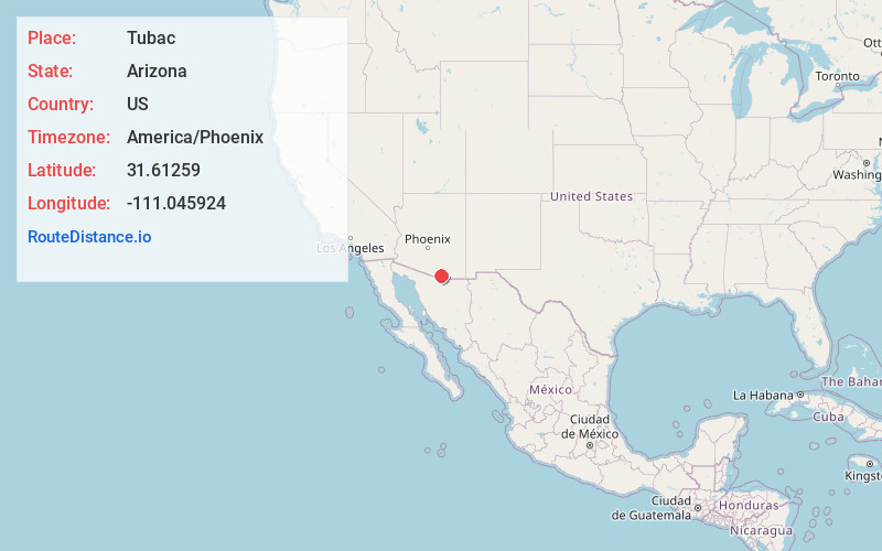
Full AddressTubac, AZ
-
Coordinates31.61259, -111.0459238
-
LocationTubac , Arizona , US
-
TimezoneAmerica/Phoenix
-
Current Local Time4:36:20 PM America/PhoenixWednesday, July 2, 2025
-
Page Views0
About Tubac
Tubac is a census-designated place in Santa Cruz County, Arizona, United States. The population was 1,191 at the 2010 census. The place name "Tubac" is an English borrowing from a Hispanicized form of the O'odham name Cuwak, which translates into English as "place of dark water".


Nearby Places
Found 10 places within 50 miles

Rio Rico
10.9 mi
17.5 km
Rio Rico, AZ 85648
Get directions

Green Valley
17.0 mi
27.4 km
Green Valley, AZ
Get directions

Nogales
19.9 mi
32.0 km
Nogales, AZ 85621
Get directions

Sahuarita
24.4 mi
39.3 km
Sahuarita, AZ
Get directions

Summit
31.9 mi
51.3 km
Summit, AZ 85756
Get directions

Vail
33.6 mi
54.1 km
Vail, AZ 85641
Get directions

Three Points
35.7 mi
57.5 km
Three Points, AZ
Get directions

Valencia West
35.8 mi
57.6 km
Valencia West, AZ
Get directions

Drexel Heights
36.5 mi
58.7 km
Drexel Heights, AZ
Get directions
Rincon Valley
39.7 mi
63.9 km
Rincon Valley, AZ
Get directions
Location Links
Local Weather
Weather Information
Coming soon!
Location Map
Static map view of Tubac, Arizona
Browse Places by Distance
Places within specific distances from Tubac
Short Distances
Long Distances
Click any distance to see all places within that range from Tubac. Distances shown in miles (1 mile ≈ 1.61 kilometers).