Distance to Valencia West, Arizona

Calculating Your Route
Just a moment while we process your request...
Location Information
-
Full AddressValencia West, AZ
-
Coordinates32.1281687, -111.1116153
-
LocationValencia West , Arizona , US
-
TimezoneAmerica/Phoenix
-
Current Local Time7:14:04 PM America/PhoenixThursday, June 19, 2025
-
Page Views0
About Valencia West
Valencia West is a census-designated place in Pima County, Arizona, United States. The population was 9,355 at the 2010 census, a 293% increase over the population of 2,380 in 2000.


Nearby Places
Found 10 places within 50 miles

Drexel Heights
4.9 mi
7.9 km
Drexel Heights, AZ
Get directions

Tucson
11.8 mi
19.0 km
Tucson, AZ
Get directions

Flowing Wells
12.9 mi
20.8 km
Flowing Wells, AZ
Get directions

Sahuarita
14.9 mi
24.0 km
Sahuarita, AZ
Get directions

Casas Adobes
15.1 mi
24.3 km
Casas Adobes, AZ
Get directions

Catalina Foothills
16.3 mi
26.2 km
Catalina Foothills, AZ
Get directions

Oro Valley
20.0 mi
32.2 km
Oro Valley, AZ
Get directions

Green Valley
20.1 mi
32.3 km
Green Valley, AZ
Get directions

Marana
22.3 mi
35.9 km
Marana, AZ
Get directions

Tanque Verde
23.5 mi
37.8 km
Tanque Verde, AZ
Get directions
Location Links
Local Weather
Weather Information
Coming soon!
Location Map
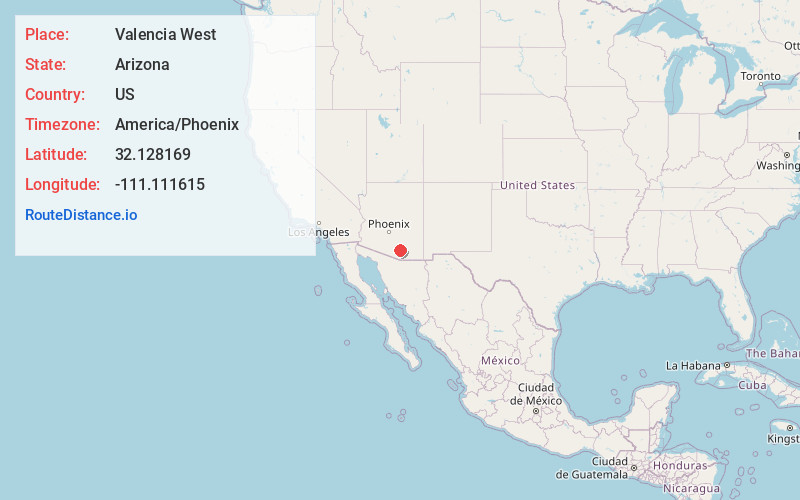
Static map view of Valencia West, Arizona
Browse Places by Distance
Places within specific distances from Valencia West
Short Distances
Long Distances
Click any distance to see all places within that range from Valencia West. Distances shown in miles (1 mile ≈ 1.61 kilometers).