Distance to Hart, Michigan

Calculating Your Route
Just a moment while we process your request...
Location Information
-
Full AddressHart, MI
-
Coordinates43.6983407, -86.3639652
-
LocationHart , Michigan , US
-
TimezoneAmerica/Detroit
-
Current Local Time11:46:45 PM America/DetroitThursday, May 29, 2025
-
Page Views0
About Hart
Hart is a city and county seat of Oceana County, Michigan. The population was 2,126 at the time of the 2010 census. The city is located within Hart Township, but is politically independent.
Hart is also home to the north end of the Hart-Montague Trail.


Nearby Places
Found 10 places within 50 miles

Shelby
6.2 mi
10.0 km
Shelby, MI 49455
Get directions

Ludington
18.3 mi
29.5 km
Ludington, MI 49431
Get directions

Montague
19.5 mi
31.4 km
Montague, MI
Get directions

Whitehall
19.9 mi
32.0 km
Whitehall, MI 49461
Get directions

Fremont
26.5 mi
42.6 km
Fremont, MI
Get directions

North Muskegon
30.9 mi
49.7 km
North Muskegon, MI 49445
Get directions

Muskegon
32.6 mi
52.5 km
Muskegon, MI
Get directions

Newaygo
34.2 mi
55.0 km
Newaygo, MI 49337
Get directions

Wolf Lake
34.5 mi
55.5 km
Wolf Lake, MI 49442
Get directions

Muskegon Heights
34.9 mi
56.2 km
Muskegon Heights, MI 49444
Get directions
Location Links
Local Weather
Weather Information
Coming soon!
Location Map
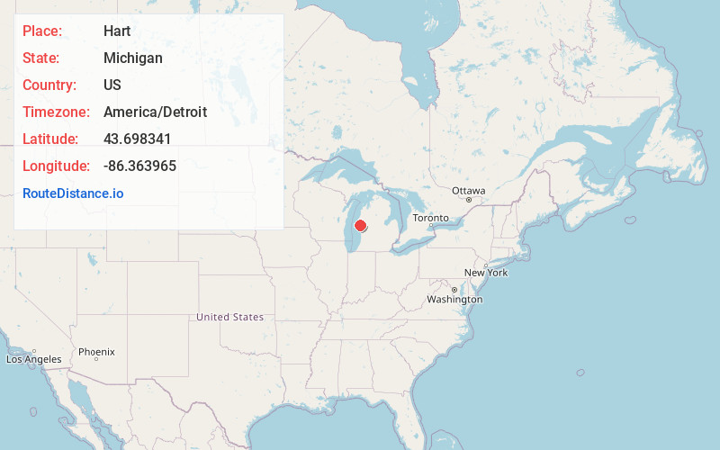
Static map view of Hart, Michigan
Browse Places by Distance
Places within specific distances from Hart
Short Distances
Long Distances
Click any distance to see all places within that range from Hart. Distances shown in miles (1 mile ≈ 1.61 kilometers).