Distance to Harvard, Idaho

Calculating Your Route
Just a moment while we process your request...
Location Information
-
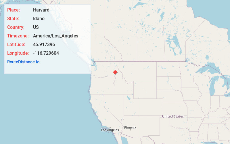
Full AddressHarvard, ID 83834
-
Coordinates46.9173963, -116.7296044
-
LocationHarvard , Idaho , US
-
TimezoneAmerica/Los_Angeles
-
Current Local Time9:21:52 PM America/Los_AngelesSunday, June 22, 2025
-
Page Views0
About Harvard
Harvard is an unincorporated community in the northwest United States, on the Palouse of north central Idaho in Latah County.
Located on the Palouse River, eight miles east of Potlatch on State Highway 6, Harvard has a post office with ZIP code 83834.


Nearby Places
Found 10 places within 50 miles

Princeton
4.9 mi
7.9 km
Princeton, ID 83857
Get directions

Hampton
5.7 mi
9.2 km
Hampton, ID 83857
Get directions
Onaway
7.7 mi
12.4 km
Onaway, ID 83855
Get directions

Potlatch
8.0 mi
12.9 km
Potlatch, ID 83855
Get directions
Vassar
8.1 mi
13.0 km
Vassar, ID 83823
Get directions
Avon
8.4 mi
13.5 km
Avon, ID 83823
Get directions

Deary
11.6 mi
18.7 km
Deary, ID 83823
Get directions
Cora
12.6 mi
20.3 km
Cora, ID 83855
Get directions

Troy
12.6 mi
20.3 km
Troy, ID 83871
Get directions
Howell
13.2 mi
21.2 km
Howell, ID 83871
Get directions
Location Links
Local Weather
Weather Information
Coming soon!
Location Map
Static map view of Harvard, Idaho
Browse Places by Distance
Places within specific distances from Harvard
Short Distances
Long Distances
Click any distance to see all places within that range from Harvard. Distances shown in miles (1 mile ≈ 1.61 kilometers).