Distance to Haslet, Texas

Calculating Your Route
Just a moment while we process your request...
Location Information
-
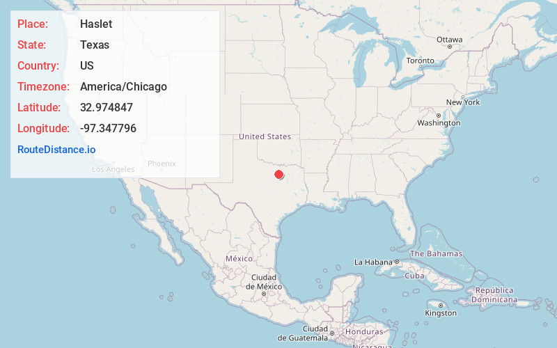
Full AddressHaslet, TX
-
Coordinates32.9748469, -97.3477957
-
LocationHaslet , Texas , US
-
TimezoneAmerica/Chicago
-
Current Local Time9:35:29 AM America/ChicagoMonday, June 23, 2025
-
Website
-
Page Views0
About Haslet
Haslet is a city in mostly Tarrant County and partly in Denton County within the Dallas–Fort Worth metroplex in the U.S. state of Texas, and is located 15 miles north of downtown Fort Worth and 20 miles south of Denton. Haslet borders Interstate 35W, U.S. Highway 287, and Alliance Airport.


Nearby Places
Found 10 places within 50 miles

Roanoke
7.3 mi
11.7 km
Roanoke, TX
Get directions

Pecan Acres
7.4 mi
11.9 km
Pecan Acres, TX
Get directions

Keller
7.4 mi
11.9 km
Keller, TX
Get directions

Saginaw
8.0 mi
12.9 km
Saginaw, TX
Get directions

Justin
8.2 mi
13.2 km
Justin, TX 76247
Get directions

Blue Mound
8.2 mi
13.2 km
Blue Mound, TX 76131
Get directions

Trophy Club
9.6 mi
15.4 km
Trophy Club, TX 76262
Get directions

Watauga
9.7 mi
15.6 km
Watauga, TX
Get directions

Northlake
10.3 mi
16.6 km
Northlake, TX
Get directions

Briar
11.4 mi
18.3 km
Briar, TX
Get directions
Location Links
Local Weather
Weather Information
Coming soon!
Location Map
Static map view of Haslet, Texas
Browse Places by Distance
Places within specific distances from Haslet
Short Distances
Long Distances
Click any distance to see all places within that range from Haslet. Distances shown in miles (1 mile ≈ 1.61 kilometers).