Distance to Haswell, Colorado

Calculating Your Route
Just a moment while we process your request...
Location Information
-
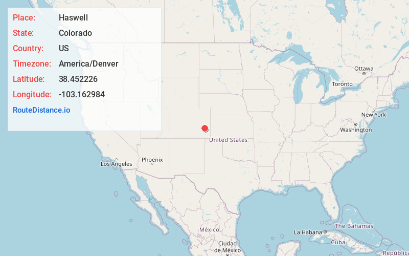
Full AddressHaswell, CO
-
Coordinates38.4522255, -103.162984
-
LocationHaswell , Colorado , US
-
TimezoneAmerica/Denver
-
Current Local Time11:27:19 PM America/DenverSunday, June 29, 2025
-
Website
-
Page Views0
About Haswell
Haswell is a statutory town located in Kiowa County, Colorado, United States. The town population was 71 at the 2020 United States census.


Nearby Places
Found 10 places within 50 miles

Eads
20.7 mi
33.3 km
Eads, CO 81036
Get directions

Las Animas
26.8 mi
43.1 km
Las Animas, CO 81054
Get directions

McClave
27.6 mi
44.4 km
McClave, CO 81057
Get directions

Kit Carson
29.4 mi
47.3 km
Kit Carson, CO 80825
Get directions

Cheraw
30.4 mi
48.9 km
Cheraw, CO
Get directions

Sugar City
31.1 mi
50.1 km
Sugar City, CO 81076
Get directions

Wiley
31.7 mi
51.0 km
Wiley, CO 81092
Get directions

Ordway
36.0 mi
57.9 km
Ordway, CO 81063
Get directions
North La Junta
37.3 mi
60.0 km
North La Junta, CO 81050
Get directions

La Junta
38.3 mi
61.6 km
La Junta, CO 81050
Get directions
Location Links
Local Weather
Weather Information
Coming soon!
Location Map
Static map view of Haswell, Colorado
Browse Places by Distance
Places within specific distances from Haswell
Short Distances
Long Distances
Click any distance to see all places within that range from Haswell. Distances shown in miles (1 mile ≈ 1.61 kilometers).