Distance to Hatchville, Massachusetts

Calculating Your Route
Just a moment while we process your request...
Location Information
-
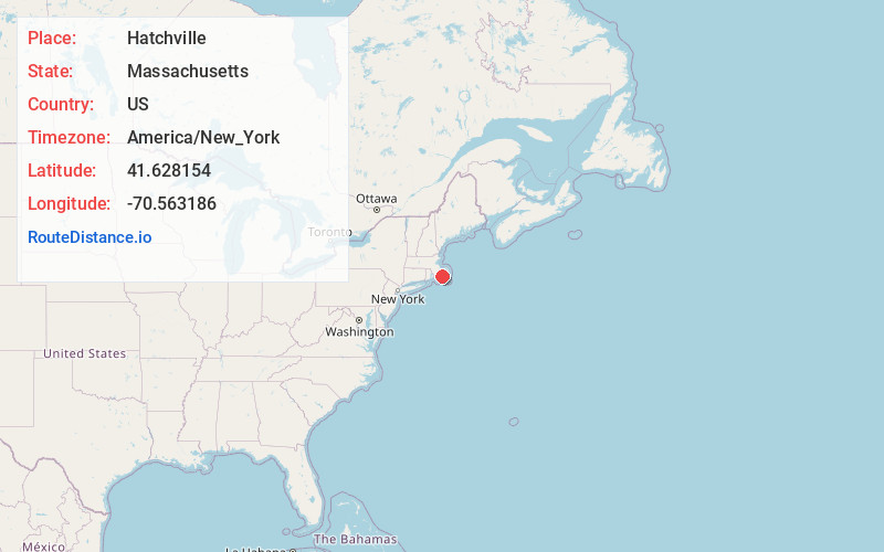
Full AddressHatchville, Falmouth, MA 02536
-
Coordinates41.628154, -70.5631863
-
NeighborhoodHatchville
-
LocationFalmouth , Massachusetts , US
-
TimezoneAmerica/New_York
-
Current Local Time7:21:40 PM America/New_YorkWednesday, June 4, 2025
-
Page Views0
About Hatchville
Hatchville is a neighborhood within the town of Falmouth, Massachusetts, on Cape Cod, United States. The mailing address for the area is East Falmouth, to the south of Hatchville.
Nearby Places
Found 10 places within 50 miles

Mashpee
4.5 mi
7.2 km
Mashpee, MA
Get directions

Falmouth
5.8 mi
9.3 km
Falmouth, MA
Get directions

Santuit
5.9 mi
9.5 km
Santuit, Barnstable, MA 02635
Get directions
Cotuit Highlands
6.7 mi
10.8 km
Cotuit Highlands, Barnstable, MA 02635
Get directions
Racing Beach
7.0 mi
11.3 km
Racing Beach, Falmouth, MA 02540
Get directions

Bourne
8.6 mi
13.8 km
Bourne, MA
Get directions
Great Neck
9.5 mi
15.3 km
Great Neck, Wareham, MA 02571
Get directions

Sandwich
10.0 mi
16.1 km
Sandwich, MA
Get directions

Gosnold
11.3 mi
18.2 km
Gosnold, MA
Get directions

Marion
11.6 mi
18.7 km
Marion, MA
Get directions
Location Links
Local Weather
Weather Information
Coming soon!
Location Map
Static map view of Hatchville, Massachusetts
Browse Places by Distance
Places within specific distances from Hatchville
Short Distances
Long Distances
Click any distance to see all places within that range from Hatchville. Distances shown in miles (1 mile ≈ 1.61 kilometers).