Distance to Gosnold, Massachusetts

Calculating Your Route
Just a moment while we process your request...
Location Information
-
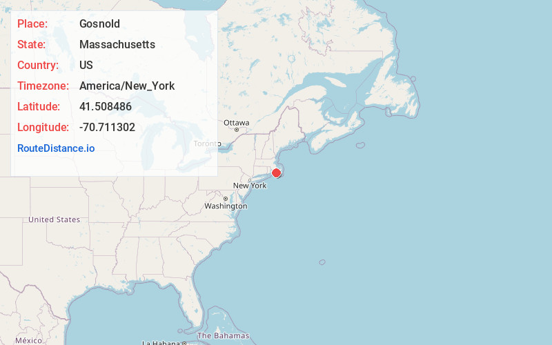
Full AddressGosnold, MA
-
Coordinates41.5084861, -70.7113023
-
LocationGosnold , Massachusetts , US
-
TimezoneAmerica/New_York
-
Current Local Time6:49:50 PM America/New_YorkFriday, June 20, 2025
-
Page Views0
About Gosnold
Gosnold is a town that encompasses the Elizabeth Islands in Dukes County, Massachusetts, United States. At the 2020 census, the town population was 70, making it the least populous town in Massachusetts. Most of the residents live in the island village of Cuttyhunk, an island on the southwestern part of the town.


Nearby Places
Found 10 places within 50 miles

Falmouth
5.9 mi
9.5 km
Falmouth, MA
Get directions

Tisbury
6.2 mi
10.0 km
Tisbury, MA
Get directions

Oak Bluffs
8.3 mi
13.4 km
Oak Bluffs, MA
Get directions

West Tisbury
8.9 mi
14.3 km
West Tisbury, MA
Get directions

Chilmark
11.5 mi
18.5 km
Chilmark, MA
Get directions

Mattapoisett
12.0 mi
19.3 km
Mattapoisett, MA
Get directions

Fairhaven
12.7 mi
20.4 km
Fairhaven, MA 02719
Get directions

Edgartown
12.8 mi
20.6 km
Edgartown, MA
Get directions

Aquinnah
12.8 mi
20.6 km
Aquinnah, MA
Get directions

Marion
13.7 mi
22.0 km
Marion, MA
Get directions
Location Links
Local Weather
Weather Information
Coming soon!
Location Map
Static map view of Gosnold, Massachusetts
Browse Places by Distance
Places within specific distances from Gosnold
Short Distances
Long Distances
Click any distance to see all places within that range from Gosnold. Distances shown in miles (1 mile ≈ 1.61 kilometers).