Distance to Hatfield, Missouri

Calculating Your Route
Just a moment while we process your request...
Location Information
-
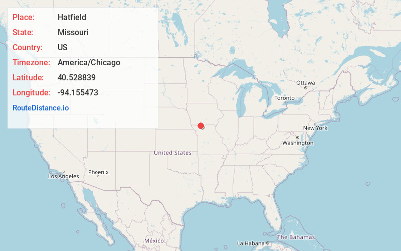
Full AddressHatfield, MO 64458
-
Coordinates40.5288394, -94.1554731
-
LocationHatfield , Missouri , US
-
TimezoneAmerica/Chicago
-
Current Local Time1:35:55 AM America/ChicagoSunday, June 22, 2025
-
Page Views0
About Hatfield
Hatfield is an unincorporated community in northwestern Harrison County, Missouri, United States. It is located approximately twelve miles east of Grant City on Route 46.
A post office called Hatfield was established in 1878, and remained in operation until 1986. The etymology of Hatfield is unknown.
Nearby Places
Found 10 places within 50 miles

Allendale
7.6 mi
12.2 km
Allendale, MO
Get directions

Eagleville
9.8 mi
15.8 km
Eagleville, MO 64442
Get directions
Irena
12.5 mi
20.1 km
Irena, MO 64456
Get directions
Blythedale
12.6 mi
20.3 km
Blythedale, MO 64426
Get directions
Denver
12.7 mi
20.4 km
Denver, MO 64441
Get directions

Redding
13.3 mi
21.4 km
Redding, IA 50860
Get directions

Lamoni
13.3 mi
21.4 km
Lamoni, IA
Get directions
Delphos
13.4 mi
21.6 km
Delphos, IA 50860
Get directions

Mt Ayr
13.5 mi
21.7 km
Mt Ayr, IA 50854
Get directions
Grant City
13.7 mi
22.0 km
Grant City, MO 64456
Get directions
Location Links
Local Weather
Weather Information
Coming soon!
Location Map
Static map view of Hatfield, Missouri
Browse Places by Distance
Places within specific distances from Hatfield
Short Distances
Long Distances
Click any distance to see all places within that range from Hatfield. Distances shown in miles (1 mile ≈ 1.61 kilometers).