Distance to Hathaway, Montana

Calculating Your Route
Just a moment while we process your request...
Location Information
-
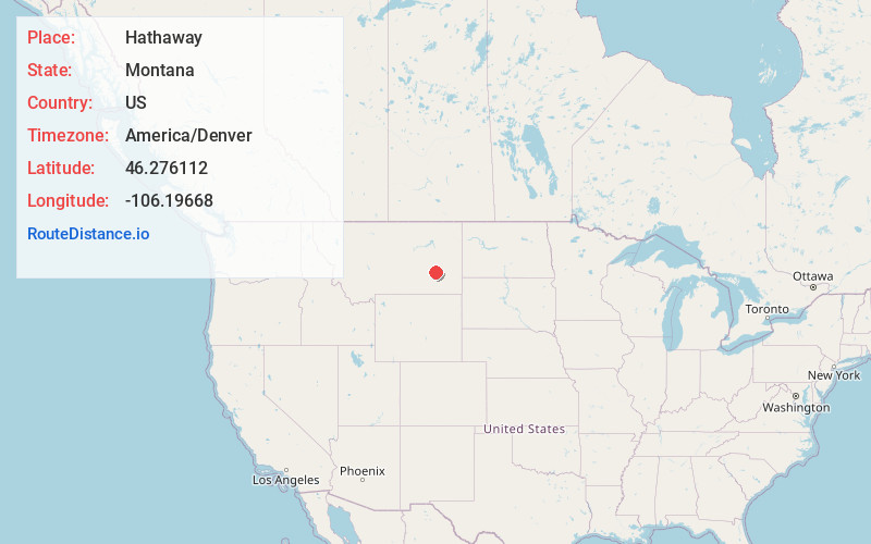
Full AddressHathaway, MT 59333
-
Coordinates46.2761115, -106.1966799
-
LocationHathaway , Montana , US
-
TimezoneAmerica/Denver
-
Current Local Time12:14:02 AM America/DenverMonday, June 9, 2025
-
Page Views0
About Hathaway
Hathaway is an unincorporated community in Rosebud County, Montana, United States. Hathaway is located at Exit 117 on Interstate 94, roughly 20 miles west-southwest of Miles City. The community had a post office until July 29, 1995; it still has its own ZIP code, 59333.
Nearby Places
Found 10 places within 50 miles

Sheffield
4.8 mi
7.7 km
Sheffield, MT 59347
Get directions
Thurlow
5.3 mi
8.5 km
Thurlow, MT 59347
Get directions
Horton
7.9 mi
12.7 km
Horton, MT 59301
Get directions
Paragon
11.1 mi
17.9 km
Paragon, MT 59301
Get directions

Rosebud
11.8 mi
19.0 km
Rosebud, MT 59347
Get directions
Cartersville
13.0 mi
20.9 km
Cartersville, MT 59347
Get directions
Orinoco
18.9 mi
30.4 km
Orinoco, MT 59327
Get directions

Miles City
19.3 mi
31.1 km
Miles City, MT 59301
Get directions

Forsyth
23.2 mi
37.3 km
Forsyth, MT 59327
Get directions
Cold Spring
26.8 mi
43.1 km
Cold Spring, MT 59327
Get directions
Location Links
Local Weather
Weather Information
Coming soon!
Location Map
Static map view of Hathaway, Montana
Browse Places by Distance
Places within specific distances from Hathaway
Short Distances
Long Distances
Click any distance to see all places within that range from Hathaway. Distances shown in miles (1 mile ≈ 1.61 kilometers).