Distance to Rosebud, Montana

Calculating Your Route
Just a moment while we process your request...
Location Information
-
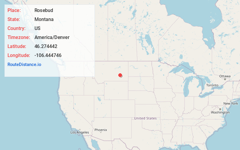
Full AddressRosebud, MT 59347
-
Coordinates46.2744424, -106.444746
-
LocationRosebud , Montana , US
-
TimezoneAmerica/Denver
-
Current Local Time12:50:22 PM America/DenverTuesday, June 24, 2025
-
Page Views0
About Rosebud
Rosebud is an unincorporated community, census-designated place and river town in Rosebud County, Montana, United States. It is located approximately 1.5 miles east of the intersection of the Yellowstone River and Rosebud Creek. Interstate 94 passes south of the town.

Nearby Places
Found 7 places within 50 miles

Forsyth
11.4 mi
18.3 km
Forsyth, MT 59327
Get directions

Colstrip
28.3 mi
45.5 km
Colstrip, MT 59323
Get directions

Miles City
30.3 mi
48.8 km
Miles City, MT 59301
Get directions

Hysham
37.7 mi
60.7 km
Hysham, MT 59038
Get directions

Lame Deer
46.3 mi
74.5 km
Lame Deer, MT
Get directions

Ashland
46.8 mi
75.3 km
Ashland, MT 59003
Get directions

Muddy
47.6 mi
76.6 km
Muddy, MT
Get directions
Location Links
Local Weather
Weather Information
Coming soon!
Location Map
Static map view of Rosebud, Montana
Browse Places by Distance
Places within specific distances from Rosebud
Short Distances
Long Distances
Click any distance to see all places within that range from Rosebud. Distances shown in miles (1 mile ≈ 1.61 kilometers).