Distance to and from Hauula, Hawaii
Hauula, HI
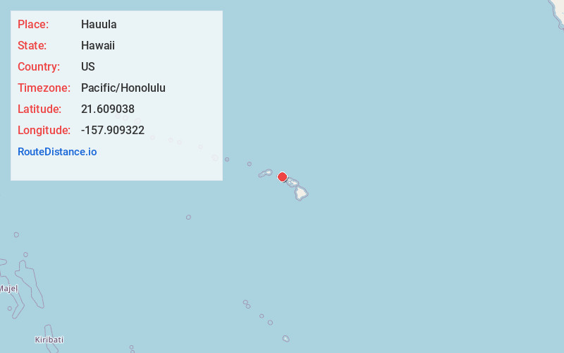
Hauula
Hawaii
US
Pacific/Honolulu
Location Information
-
Full AddressHauula, HI
-
Coordinates21.6090383, -157.9093223
-
LocationHauula , Hawaii , US
-
TimezonePacific/Honolulu
-
Current Local Time7:21:46 PM Pacific/HonoluluSaturday, May 3, 2025
-
Page Views0
Directions to Nearest Cities
About Hauula
Hauʻula is a census-designated place and rural community in the Koʻolauloa District on the island of Oʻahu, City & County of Honolulu. In Hawaiian, hauʻula means "red hau". There is a small commercial center. As of the 2020 census, the CDP population was 4,018.
A fringing reef extends off the shoreline.


Nearby Places
Found 10 places within 50 miles

Laie
2.7 mi
4.3 km
Laie, HI 96762
Get directions

Whitmore Village
10.0 mi
16.1 km
Whitmore Village, HI 96786
Get directions

Pupukea
10.2 mi
16.4 km
Pupukea, HI 96712
Get directions

Wahiawa
11.0 mi
17.7 km
Wahiawa, HI 96786
Get directions

Kahaluu
12.0 mi
19.3 km
Kahaluu, HI 96744
Get directions

Haleiwa
12.5 mi
20.1 km
Haleiwa, HI
Get directions

Waipio Acres
12.5 mi
20.1 km
Waipio Acres, HI 96789
Get directions

Schofield Barracks
12.6 mi
20.3 km
Schofield Barracks, HI
Get directions

Mililani
12.9 mi
20.8 km
Mililani, HI 96789
Get directions

Ahuimanu
12.9 mi
20.8 km
Ahuimanu, HI 96744
Get directions
Laie
2.7 mi
4.3 km
Laie, HI 96762
Whitmore Village
10.0 mi
16.1 km
Whitmore Village, HI 96786
Pupukea
10.2 mi
16.4 km
Pupukea, HI 96712
Wahiawa
11.0 mi
17.7 km
Wahiawa, HI 96786
Kahaluu
12.0 mi
19.3 km
Kahaluu, HI 96744
Haleiwa
12.5 mi
20.1 km
Haleiwa, HI
Waipio Acres
12.5 mi
20.1 km
Waipio Acres, HI 96789
Schofield Barracks
12.6 mi
20.3 km
Schofield Barracks, HI
Mililani
12.9 mi
20.8 km
Mililani, HI 96789
Ahuimanu
12.9 mi
20.8 km
Ahuimanu, HI 96744
Location Links
Local Weather
Weather Information
Coming soon!
Location Map
Static map view of Hauula, Hawaii
Browse Places by Distance
Places within specific distances from Hauula
Short Distances
Long Distances
Click any distance to see all places within that range from Hauula. Distances shown in miles (1 mile ≈ 1.61 kilometers).