Distance to Pupukea, Hawaii

Calculating Your Route
Just a moment while we process your request...
Location Information
-
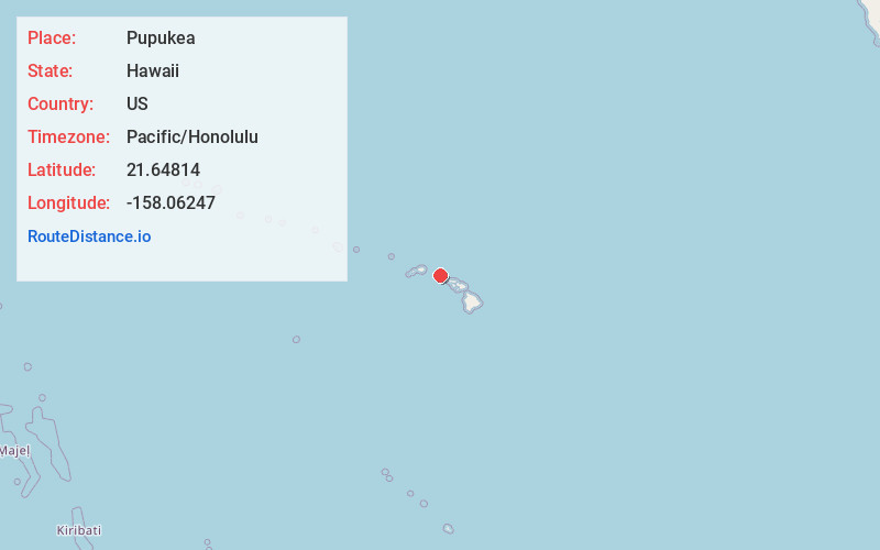
Full AddressPupukea, HI 96712
-
Coordinates21.6481397, -158.0624697
-
LocationPupukea , Hawaii , US
-
TimezonePacific/Honolulu
-
Current Local Time8:00:17 AM Pacific/HonoluluWednesday, June 4, 2025
-
Page Views0
About Pupukea
Pūpūkea is a community and census-designated place in the Koʻolauloa District on the island of Oʻahu, City & County of Honolulu, Hawaii, United States. In Hawaiian, pūpūkea means "white shell". As of the 2020 census, the CDP had a population of 5,130.


Nearby Places
Found 10 places within 50 miles

Laie
9.1 mi
14.6 km
Laie, HI 96762
Get directions

Schofield Barracks
10.6 mi
17.1 km
Schofield Barracks, HI
Get directions

Wahiawa
10.7 mi
17.2 km
Wahiawa, HI 96786
Get directions

Waipio Acres
13.2 mi
21.2 km
Waipio Acres, HI 96789
Get directions

Mililani
13.9 mi
22.4 km
Mililani, HI 96789
Get directions

Mākaha
15.7 mi
25.3 km
Mākaha, HI 96792
Get directions

Waipio
16.1 mi
25.9 km
Waipio, HI
Get directions

Waianae
16.3 mi
26.2 km
Waianae, HI 96792
Get directions

Royal Kunia
16.9 mi
27.2 km
Royal Kunia, HI 96797
Get directions

Maili
17.3 mi
27.8 km
Maili, HI 96792
Get directions
Location Links
Local Weather
Weather Information
Coming soon!
Location Map
Static map view of Pupukea, Hawaii
Browse Places by Distance
Places within specific distances from Pupukea
Short Distances
Long Distances
Click any distance to see all places within that range from Pupukea. Distances shown in miles (1 mile ≈ 1.61 kilometers).