Distance to Waianae, Hawaii

Calculating Your Route
Just a moment while we process your request...
Location Information
-
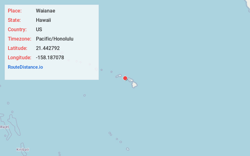
Full AddressWaianae, HI 96792
-
Coordinates21.4427921, -158.1870783
-
LocationWaianae , Hawaii , US
-
TimezonePacific/Honolulu
-
Current Local Time12:21:34 AM Pacific/HonoluluSaturday, May 31, 2025
-
Page Views0
About Waianae
Waiʻanae is a census-designated place in the City and County of Honolulu, Hawaii, United States. As of the 2020 census, the CDP population was 13,614.
Its name means "waters of the mullet". Its etymology is shared with the far northern Wellington suburb of Waikanae, located in New Zealand.


Nearby Places
Found 10 places within 50 miles

Schofield Barracks
8.8 mi
14.2 km
Schofield Barracks, HI
Get directions

Makakilo
9.4 mi
15.1 km
Makakilo, HI 96707
Get directions

Kapolei
10.1 mi
16.3 km
Kapolei, HI
Get directions

Royal Kunia
10.2 mi
16.4 km
Royal Kunia, HI 96797
Get directions

Wahiawa
10.8 mi
17.4 km
Wahiawa, HI 96786
Get directions

Mililani
11.1 mi
17.9 km
Mililani, HI 96789
Get directions

Waipahu
12.5 mi
20.1 km
Waipahu, HI 96797
Get directions
Ocean Pointe
13.4 mi
21.6 km
Ocean Pointe, HI 96706
Get directions

Pearl City
14.3 mi
23.0 km
Pearl City, HI
Get directions

Ewa Beach
14.5 mi
23.3 km
Ewa Beach, HI
Get directions
Location Links
Local Weather
Weather Information
Coming soon!
Location Map
Static map view of Waianae, Hawaii
Browse Places by Distance
Places within specific distances from Waianae
Short Distances
Long Distances
Click any distance to see all places within that range from Waianae. Distances shown in miles (1 mile ≈ 1.61 kilometers).