Distance to Royal Kunia, Hawaii

Calculating Your Route
Just a moment while we process your request...
Location Information
-
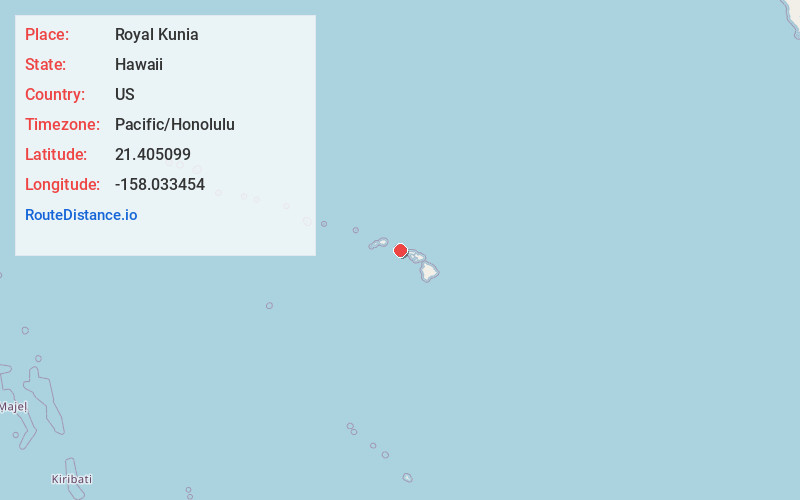
Full AddressRoyal Kunia, HI 96797
-
Coordinates21.4050991, -158.0334542
-
LocationRoyal Kunia , Hawaii , US
-
TimezonePacific/Honolulu
-
Current Local Time1:12:32 PM Pacific/HonoluluThursday, June 19, 2025
-
Page Views0
About Royal Kunia
Royal Kunia is a census-designated place on the island of Oʻahu in the City & County of Honolulu, Hawaiʻi, United States. As of the 2020 census, the population of the CDP was 14,896. The area was recorded as the Village Park CDP in prior censuses.
Nearby Places
Found 10 places within 50 miles

Waipahu
2.4 mi
3.9 km
Waipahu, HI 96797
Get directions

Mililani
3.4 mi
5.5 km
Mililani, HI 96789
Get directions

Pearl City
4.1 mi
6.6 km
Pearl City, HI
Get directions

Makakilo
5.4 mi
8.7 km
Makakilo, HI 96707
Get directions

Kapolei
5.9 mi
9.5 km
Kapolei, HI
Get directions

Waimalu
5.9 mi
9.5 km
Waimalu, HI 96701
Get directions

Wahiawa
6.3 mi
10.1 km
Wahiawa, HI 96786
Get directions

Ocean Pointe
6.3 mi
10.1 km
Ocean Pointe, HI 96706
Get directions

Schofield Barracks
6.5 mi
10.5 km
Schofield Barracks, HI
Get directions

Ewa Beach
6.6 mi
10.6 km
Ewa Beach, HI
Get directions
Location Links
Local Weather
Weather Information
Coming soon!
Location Map
Static map view of Royal Kunia, Hawaii
Browse Places by Distance
Places within specific distances from Royal Kunia
Short Distances
Long Distances
Click any distance to see all places within that range from Royal Kunia. Distances shown in miles (1 mile ≈ 1.61 kilometers).