Distance to Havasupai Indian Reservation, Arizona

Calculating Your Route
Just a moment while we process your request...
Location Information
-
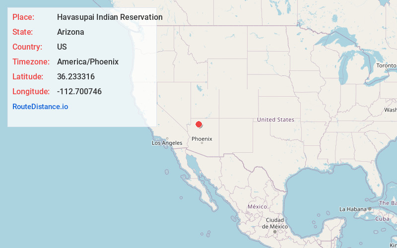
Full AddressHavasupai Indian Reservation, Havasupai, AZ
-
Coordinates36.2333157, -112.7007462
-
LocationHavasupai , Arizona , US
-
TimezoneAmerica/Phoenix
-
Current Local Time3:17:53 PM America/PhoenixWednesday, July 2, 2025
-
Page Views0
About Havasupai Indian Reservation
The Havasupai Indian Reservation is a Native American reservation for the Havasupai people, bordering Grand Canyon National Park, in Coconino County in Arizona, United States. It is considered one of America's most remote Indian reservations.


Nearby Places
Found 10 places within 50 miles
Supai
0.7 mi
1.1 km
Supai, AZ 86435
Get directions

Steamboat Mountain
19.1 mi
30.7 km
Steamboat Mountain, Arizona 86052
Get directions

Tuweep
24.0 mi
38.6 km
Tuweep, AZ 86432
Get directions

Mount Trumbull Wilderness
26.7 mi
43.0 km
Mt Trumbull Wilderness, Mohave North, AZ
Get directions

Big Springs
32.1 mi
51.7 km
Big Springs, AZ 86022
Get directions

Grand Canyon Village
33.6 mi
54.1 km
Grand Canyon Village, AZ 86023
Get directions
Berry Knoll
33.9 mi
54.6 km
Berry Knoll, Arizona
Get directions

Grand Canyon
34.1 mi
54.9 km
Grand Canyon, Arizona 86052
Get directions

North Rim
35.8 mi
57.6 km
North Rim, AZ 86052
Get directions

Cedar Ridge
36.0 mi
57.9 km
Cedar Ridge, Grand Canyon Village, AZ 86023
Get directions
Location Links
Local Weather
Weather Information
Coming soon!
Location Map
Static map view of Havasupai Indian Reservation, Arizona
Browse Places by Distance
Places within specific distances from Havasupai Indian Reservation
Short Distances
Long Distances
Click any distance to see all places within that range from Havasupai Indian Reservation. Distances shown in miles (1 mile ≈ 1.61 kilometers).