Distance to Hawley, California

Calculating Your Route
Just a moment while we process your request...
Location Information
-
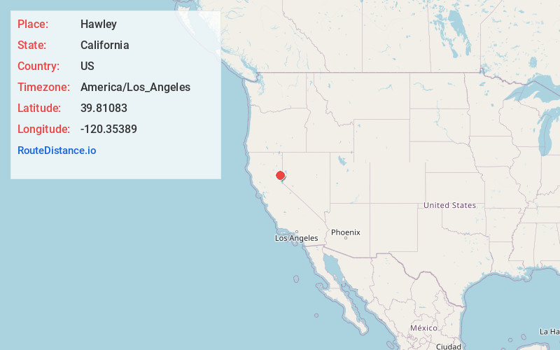
Full AddressHawley, CA 96129
-
Coordinates39.81083, -120.35389
-
LocationHawley , California , US
-
TimezoneAmerica/Los_Angeles
-
Current Local Time11:34:17 PM America/Los_AngelesWednesday, June 18, 2025
-
Page Views0
Nearby Places
Found 10 places within 50 miles

Beckwourth
1.5 mi
2.4 km
Beckwourth, CA
Get directions

Portola
6.1 mi
9.8 km
Portola, CA 96122
Get directions

Delleker
7.7 mi
12.4 km
Delleker, CA 96122
Get directions

Lake Davis
7.9 mi
12.7 km
Lake Davis, CA 96122
Get directions

Gold Mountain
10.2 mi
16.4 km
Gold Mountain, CA
Get directions
Mabie
10.3 mi
16.6 km
Mabie, CA
Get directions

Calpine
10.9 mi
17.5 km
Calpine, CA 96124
Get directions

Loyalton
11.1 mi
17.9 km
Loyalton, CA 96118
Get directions
Mohawk Vista
12.1 mi
19.5 km
Mohawk Vista, CA
Get directions

Chilcoot-Vinton
12.2 mi
19.6 km
Chilcoot-Vinton, CA
Get directions
Location Links
Local Weather
Weather Information
Coming soon!
Location Map
Static map view of Hawley, California
Browse Places by Distance
Places within specific distances from Hawley
Short Distances
Long Distances
Click any distance to see all places within that range from Hawley. Distances shown in miles (1 mile ≈ 1.61 kilometers).