Distance to Hawthorn Woods, Illinois

Calculating Your Route
Just a moment while we process your request...
Location Information
-
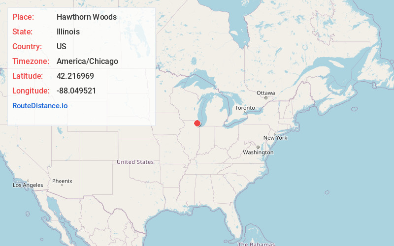
Full AddressHawthorn Woods, IL
-
Coordinates42.2169686, -88.0495211
-
LocationHawthorn Woods , Illinois , US
-
TimezoneAmerica/Chicago
-
Current Local Time7:01:02 PM America/ChicagoThursday, June 19, 2025
-
Website
-
Page Views0
About Hawthorn Woods
Hawthorn Woods is a village in Fremont and Ela townships in Lake County, Illinois, United States. Per the 2020 census, the population was 9,062. The village is located approximately 40 miles northwest of downtown Chicago. Hawthorn Woods was officially incorporated in 1958.


Nearby Places
Found 10 places within 50 miles

Lake Zurich
2.6 mi
4.2 km
Lake Zurich, IL
Get directions

Mundelein
3.9 mi
6.3 km
Mundelein, IL
Get directions

Vernon Hills
4.6 mi
7.4 km
Vernon Hills, IL
Get directions

Wauconda
5.4 mi
8.7 km
Wauconda, IL
Get directions

Buffalo Grove
5.6 mi
9.0 km
Buffalo Grove, IL
Get directions

Barrington
6.2 mi
10.0 km
Barrington, IL 60010
Get directions

Libertyville
6.7 mi
10.8 km
Libertyville, IL
Get directions

Palatine
7.4 mi
11.9 km
Palatine, IL
Get directions

Wheeling
8.2 mi
13.2 km
Wheeling, IL
Get directions

Grayslake
8.8 mi
14.2 km
Grayslake, IL
Get directions
Location Links
Local Weather
Weather Information
Coming soon!
Location Map
Static map view of Hawthorn Woods, Illinois
Browse Places by Distance
Places within specific distances from Hawthorn Woods
Short Distances
Long Distances
Click any distance to see all places within that range from Hawthorn Woods. Distances shown in miles (1 mile ≈ 1.61 kilometers).