Distance to Hay Township, Michigan

Calculating Your Route
Just a moment while we process your request...
Location Information
-
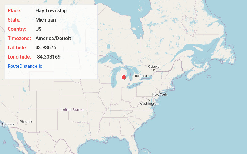
Full AddressHay Township, MI
-
Coordinates43.9367496, -84.3331694
-
LocationHay Township , Michigan , US
-
TimezoneAmerica/Detroit
-
Current Local Time10:02:02 PM America/DetroitMonday, June 16, 2025
-
Page Views0
About Hay Township
Hay Township is a civil township of Gladwin County in the U.S. state of Michigan. The population was 1,279 at the 2020 census.
Nearby Places
Found 10 places within 50 miles

Highwood
1.5 mi
2.4 km
Highwood, Hay Township, MI 48612
Get directions
Winegars
1.7 mi
2.7 km
Winegars, MI 48624
Get directions
Wooden Shoe Village
3.1 mi
5.0 km
Wooden Shoe Village, MI 48624
Get directions
White Star
3.4 mi
5.5 km
White Star, MI 48624
Get directions
Billings
6.1 mi
9.8 km
Billings, MI 48612
Get directions
Grim Township
6.3 mi
10.1 km
Grim Township, MI
Get directions
Lockwood Beach
6.5 mi
10.5 km
Lockwood Beach, Billings Township, MI 48612
Get directions

Bentley Township
7.0 mi
11.3 km
Bentley Township, MI
Get directions
Dale
7.4 mi
11.9 km
Dale, Tobacco Township, MI 48612
Get directions
Estey
7.9 mi
12.7 km
Estey, Bentley Township, MI 48652
Get directions
Location Links
Local Weather
Weather Information
Coming soon!
Location Map
Static map view of Hay Township, Michigan
Browse Places by Distance
Places within specific distances from Hay Township
Short Distances
Long Distances
Click any distance to see all places within that range from Hay Township. Distances shown in miles (1 mile ≈ 1.61 kilometers).