Distance to Haywood, Kentucky

Calculating Your Route
Just a moment while we process your request...
Location Information
-
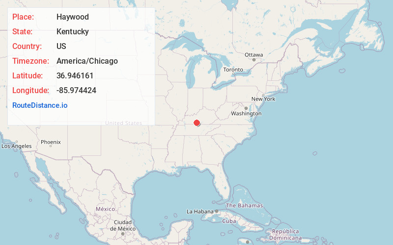
Full AddressHaywood, KY 42141
-
Coordinates36.9461611, -85.9744238
-
LocationHaywood , Kentucky , US
-
TimezoneAmerica/Chicago
-
Current Local Time6:38:06 AM America/ChicagoSunday, June 1, 2025
-
Page Views0
About Haywood
Haywood is an unincorporated community in Barren County, Kentucky, United States. Its post office closed in October 1934.
Nearby Places
Found 10 places within 50 miles

Bristletown
3.1 mi
5.0 km
Bristletown, KY 42141
Get directions

Brigadoon State Nature Preserve
3.4 mi
5.5 km
Brigadoon State Nature Preserve, Glasgow, KY 42141
Get directions

Glasgow
4.9 mi
7.9 km
Glasgow, KY 42141
Get directions
Lucas
5.1 mi
8.2 km
Lucas, KY 42156
Get directions
Oil City
6.0 mi
9.7 km
Oil City, KY 42141
Get directions
Red Cross
6.5 mi
10.5 km
Red Cross, KY 42160
Get directions
Carden
6.8 mi
10.9 km
Carden, KY 42141
Get directions

Peter Creek
7.0 mi
11.3 km
Peter Creek, KY 42141
Get directions
Finney
7.5 mi
12.1 km
Finney, KY 42141
Get directions
Cooktown
7.9 mi
12.7 km
Cooktown, KY 42123
Get directions
Location Links
Local Weather
Weather Information
Coming soon!
Location Map
Static map view of Haywood, Kentucky
Browse Places by Distance
Places within specific distances from Haywood
Short Distances
Long Distances
Click any distance to see all places within that range from Haywood. Distances shown in miles (1 mile ≈ 1.61 kilometers).