Distance to Hazel Run, Minnesota

Calculating Your Route
Just a moment while we process your request...
Location Information
-
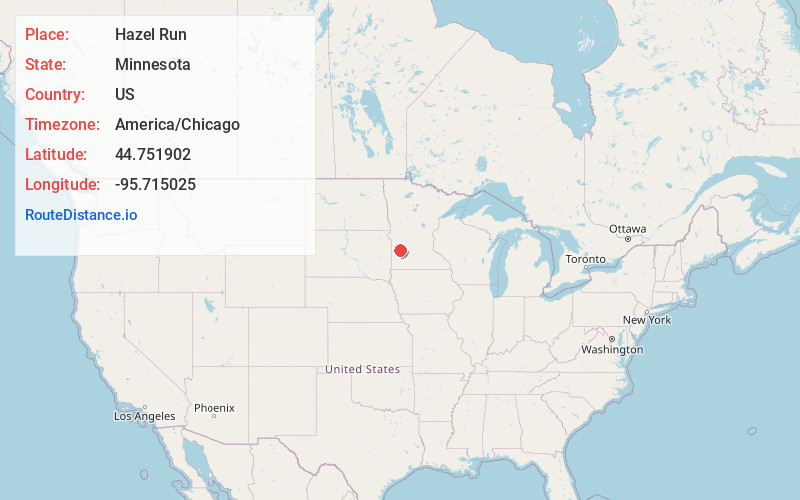
Full AddressHazel Run, MN 56241
-
Coordinates44.7519019, -95.7150245
-
LocationHazel Run , Minnesota , US
-
TimezoneAmerica/Chicago
-
Current Local Time11:07:48 PM America/ChicagoFriday, June 20, 2025
-
Page Views0
About Hazel Run
Hazel Run is a city in Yellow Medicine County, Minnesota, United States. The population was 63 at the 2010 census.
Nearby Places
Found 10 places within 50 miles

Clarkfield
5.3 mi
8.5 km
Clarkfield, MN 56223
Get directions

Hanley Falls
6.2 mi
10.0 km
Hanley Falls, MN 56245
Get directions

Granite Falls
9.2 mi
14.8 km
Granite Falls, MN 56241
Get directions

Cottonwood
10.1 mi
16.3 km
Cottonwood, MN 56229
Get directions

Wood Lake
11.0 mi
17.7 km
Wood Lake, MN 56297
Get directions

Boyd
11.5 mi
18.5 km
Boyd, MN 56218
Get directions

Montevideo
13.1 mi
21.1 km
Montevideo, MN 56265
Get directions

Maynard
16.2 mi
26.1 km
Maynard, MN 56260
Get directions
St Leo
16.7 mi
26.9 km
St Leo, MN 56291
Get directions
Echo
17.4 mi
28.0 km
Echo, MN 56237
Get directions
Location Links
Local Weather
Weather Information
Coming soon!
Location Map
Static map view of Hazel Run, Minnesota
Browse Places by Distance
Places within specific distances from Hazel Run
Short Distances
Long Distances
Click any distance to see all places within that range from Hazel Run. Distances shown in miles (1 mile ≈ 1.61 kilometers).