Distance to Hazeldale, Oregon

Calculating Your Route
Just a moment while we process your request...
Location Information
-
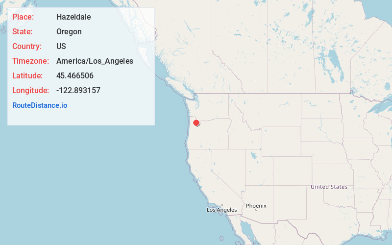
Full AddressHazeldale, OR 97007
-
Coordinates45.466506, -122.8931568
-
LocationHazeldale , Oregon , US
-
TimezoneAmerica/Los_Angeles
-
Current Local Time12:26:11 PM America/Los_AngelesTuesday, June 3, 2025
-
Page Views0
About Hazeldale
Hazeldale is an unincorporated community in Washington County, Oregon, United States. It is located along Farmington Road south of Reedville and west of Aloha.
Nearby Places
Found 10 places within 50 miles

Aloha
2.3 mi
3.7 km
Aloha, OR
Get directions

Beaverton
4.5 mi
7.2 km
Beaverton, OR
Get directions

Cedar Hills
5.1 mi
8.2 km
Cedar Hills, OR
Get directions

Hillsboro
6.0 mi
9.7 km
Hillsboro, OR
Get directions

West Slope
6.1 mi
9.8 km
West Slope, OR
Get directions

Tigard
6.2 mi
10.0 km
Tigard, OR
Get directions
Raleigh Hills
6.4 mi
10.3 km
Raleigh Hills, OR
Get directions

West Haven-Sylvan
7.1 mi
11.4 km
West Haven-Sylvan, OR
Get directions

Sherwood
8.0 mi
12.9 km
Sherwood, OR
Get directions

Durham
8.4 mi
13.5 km
Durham, OR 97224
Get directions
Location Links
Local Weather
Weather Information
Coming soon!
Location Map
Static map view of Hazeldale, Oregon
Browse Places by Distance
Places within specific distances from Hazeldale
Short Distances
Long Distances
Click any distance to see all places within that range from Hazeldale. Distances shown in miles (1 mile ≈ 1.61 kilometers).