Distance to Hazleton, Indiana

Calculating Your Route
Just a moment while we process your request...
Location Information
-
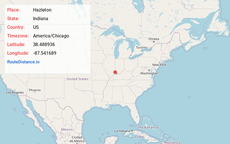
Full AddressHazleton, IN 47640
-
Coordinates38.4889362, -87.5416891
-
LocationHazleton , Indiana , US
-
TimezoneAmerica/Chicago
-
Current Local Time8:19:30 AM America/ChicagoSunday, June 29, 2025
-
Page Views0
About Hazleton
Hazleton is a town in White River Township, Gibson County, Indiana, United States. The population was 263 at the 2010 census making it the second smallest community in the county. While having almost no connection to it, it is part of the Evansville, Indiana, Metropolitan Area.

Nearby Places
Found 10 places within 50 miles

Patoka
6.1 mi
9.8 km
Patoka, IN
Get directions

St Francisville
9.1 mi
14.6 km
St Francisville, IL 62460
Get directions

Princeton
9.3 mi
15.0 km
Princeton, IN 47670
Get directions
Allendale
9.5 mi
15.3 km
Allendale, IL 62410
Get directions

Francisco
12.0 mi
19.3 km
Francisco, IN 47649
Get directions

Vincennes
13.0 mi
20.9 km
Vincennes, IN 47591
Get directions

Mt Carmel
13.1 mi
21.1 km
Mt Carmel, IL 62863
Get directions
Monroe City
13.4 mi
21.6 km
Monroe City, IN 47557
Get directions

Petersburg
14.2 mi
22.9 km
Petersburg, IN 47567
Get directions

Oakland City
14.9 mi
24.0 km
Oakland City, IN 47660
Get directions
Location Links
Local Weather
Weather Information
Coming soon!
Location Map
Static map view of Hazleton, Indiana
Browse Places by Distance
Places within specific distances from Hazleton
Short Distances
Long Distances
Click any distance to see all places within that range from Hazleton. Distances shown in miles (1 mile ≈ 1.61 kilometers).