Distance to Hecla, Kentucky

Calculating Your Route
Just a moment while we process your request...
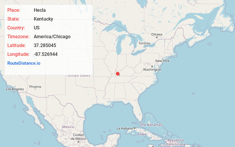
Location Information
-
Full AddressHecla, KY 42410
-
Coordinates37.2850451, -87.5269443
-
LocationKentucky , US
-
TimezoneAmerica/Chicago
-
Current Local Time8:42:32 AM America/ChicagoFriday, May 23, 2025
-
Page Views0
About Hecla
Hecla is an unincorporated community located in Hopkins County, Kentucky, United States. It was also called Hechla.
Hecla began as a company town where the workers of a mine operated by the Hecla Coal and Mining Company lived. The first mine opened there in 1873.
Nearby Places
Found 10 places within 50 miles

Earlington
1.1 mi
1.8 km
Earlington, KY
Get directions

Dozier Heights
1.3 mi
2.1 km
Dozier Heights, KY 42431
Get directions
Pee Vee
1.7 mi
2.7 km
Pee Vee, KY 42431
Get directions
Victoria
1.8 mi
2.9 km
Victoria, Madisonville, KY 42431
Get directions
Barnsley
2.8 mi
4.5 km
Barnsley, KY 42431
Get directions

Madisonville
3.4 mi
5.5 km
Madisonville, KY 42431
Get directions
Richland
3.8 mi
6.1 km
Richland, KY 42431
Get directions

Mortons Gap
4.4 mi
7.1 km
Mortons Gap, KY
Get directions
Mitchell Hill
4.7 mi
7.6 km
Mitchell Hill, Madisonville, KY 42431
Get directions
Manitou
6.7 mi
10.8 km
Manitou, KY
Get directions
Location Links
Local Weather
Weather Information
Coming soon!
Location Map
Static map view of Hecla, Kentucky
Browse Places by Distance
Places within specific distances from Hecla
Short Distances
Long Distances
Click any distance to see all places within that range from Hecla. Distances shown in miles (1 mile ≈ 1.61 kilometers).