Distance to Helena West Side, Montana

Calculating Your Route
Just a moment while we process your request...
Location Information
-
Full AddressHelena West Side, MT
-
Coordinates46.5981395, -112.1012427
-
LocationHelena West Side , Montana , US
-
TimezoneAmerica/Denver
-
Current Local Time3:16:35 PM America/DenverSaturday, May 31, 2025
-
Page Views0
About Helena West Side
Helena West Side is a census-designated place in Lewis and Clark County, Montana, United States. The population was 1,637 at the 2010 census, down from 1,711 at the 2000 census due to annexation of part of the CDP by the city of Helena. It is part of the Helena Micropolitan Statistical Area.
Nearby Places
Found 8 places within 50 miles

Helena
3.0 mi
4.8 km
Helena, MT
Get directions

Helena Valley West Central
5.0 mi
8.0 km
Helena Valley West Central, MT 59602
Get directions

East Helena
8.8 mi
14.2 km
East Helena, MT
Get directions

Montana City
9.0 mi
14.5 km
Montana City, MT
Get directions

Clancy
10.7 mi
17.2 km
Clancy, MT 59634
Get directions

Deer Lodge
33.3 mi
53.6 km
Deer Lodge, MT 59722
Get directions

Townsend
33.7 mi
54.2 km
Townsend, MT 59644
Get directions

Butte
46.0 mi
74.0 km
Butte, MT
Get directions
Location Links
Local Weather
Weather Information
Coming soon!
Location Map
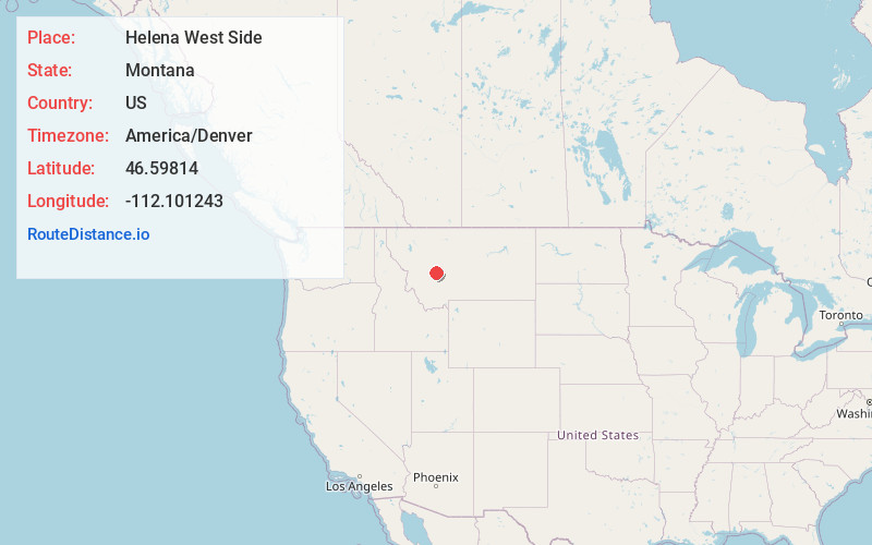
Static map view of Helena West Side, Montana
Browse Places by Distance
Places within specific distances from Helena West Side
Short Distances
Long Distances
Click any distance to see all places within that range from Helena West Side. Distances shown in miles (1 mile ≈ 1.61 kilometers).