Distance to Hemp Ridge, Kentucky

Calculating Your Route
Just a moment while we process your request...
Location Information
-
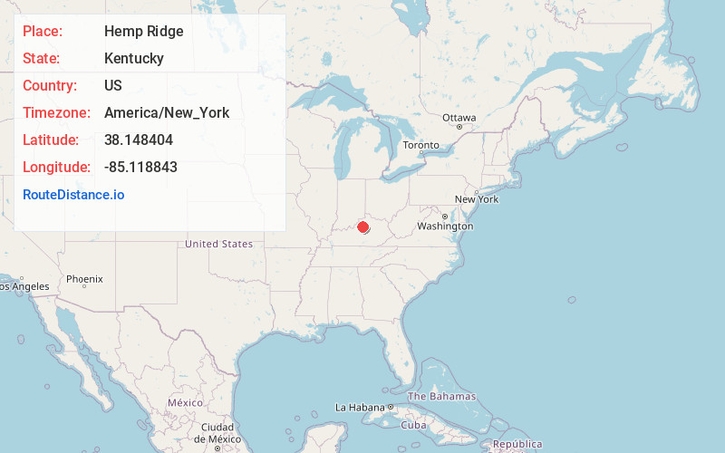
Full AddressHemp Ridge, KY 40076
-
Coordinates38.1484035, -85.1188428
-
LocationKentucky , US
-
TimezoneAmerica/New_York
-
Current Local Time2:30:58 PM America/New_YorkFriday, June 20, 2025
-
Page Views0
About Hemp Ridge
Hemp Ridge is an unincorporated community within Shelby County, Kentucky, United States.
Nearby Places
Found 10 places within 50 miles

Junte
4.8 mi
7.7 km
Junte, KY 40076
Get directions

Shelbyville
6.9 mi
11.1 km
Shelbyville, KY 40065
Get directions
Olive Branch
8.1 mi
13.0 km
Olive Branch, KY 40065
Get directions
Bridgeport
9.3 mi
15.0 km
Bridgeport, KY 40601
Get directions
Joyes
10.3 mi
16.6 km
Joyes, KY 40065
Get directions
Alton Station
10.8 mi
17.4 km
Alton Station, KY 40342
Get directions
Alton
10.8 mi
17.4 km
Alton, KY 40342
Get directions

Simpsonville
13.3 mi
21.4 km
Simpsonville, KY 40067
Get directions

Frankfort
13.4 mi
21.6 km
Frankfort, KY 40601
Get directions

Pleasureville
13.6 mi
21.9 km
Pleasureville, KY 40057
Get directions
Location Links
Local Weather
Weather Information
Coming soon!
Location Map
Static map view of Hemp Ridge, Kentucky
Browse Places by Distance
Places within specific distances from Hemp Ridge
Short Distances
Long Distances
Click any distance to see all places within that range from Hemp Ridge. Distances shown in miles (1 mile ≈ 1.61 kilometers).