Distance to Henkel, Colorado

Calculating Your Route
Just a moment while we process your request...
Location Information
-
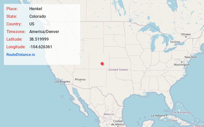
Full AddressHenkel, CO 81008
-
Coordinates38.5199991, -104.6263612
-
LocationColorado , US
-
TimezoneAmerica/Denver
-
Current Local Time12:48:01 PM America/DenverTuesday, June 24, 2025
-
Page Views0
Nearby Places
Found 10 places within 50 miles

Fountain
11.9 mi
19.2 km
Fountain, CO
Get directions

Pueblo West
14.4 mi
23.2 km
Pueblo West, CO
Get directions

Pueblo
17.3 mi
27.8 km
Pueblo, CO
Get directions

Fort Carson
17.4 mi
28.0 km
Fort Carson, CO
Get directions

Security-Widefield
18.0 mi
29.0 km
Security-Widefield, CO
Get directions

Blende
19.2 mi
30.9 km
Blende, CO 81006
Get directions
Salt Creek
19.4 mi
31.2 km
Salt Creek, CO 81006
Get directions

Stratmoor
19.4 mi
31.2 km
Stratmoor, CO
Get directions

Vineland
21.0 mi
33.8 km
Vineland, CO 81006
Get directions

Penrose
22.4 mi
36.0 km
Penrose, CO 81240
Get directions
Location Links
Local Weather
Weather Information
Coming soon!
Location Map
Static map view of Henkel, Colorado
Browse Places by Distance
Places within specific distances from Henkel
Short Distances
Long Distances
Click any distance to see all places within that range from Henkel. Distances shown in miles (1 mile ≈ 1.61 kilometers).