Distance to Henniker, New Hampshire

Calculating Your Route
Just a moment while we process your request...
Location Information
-
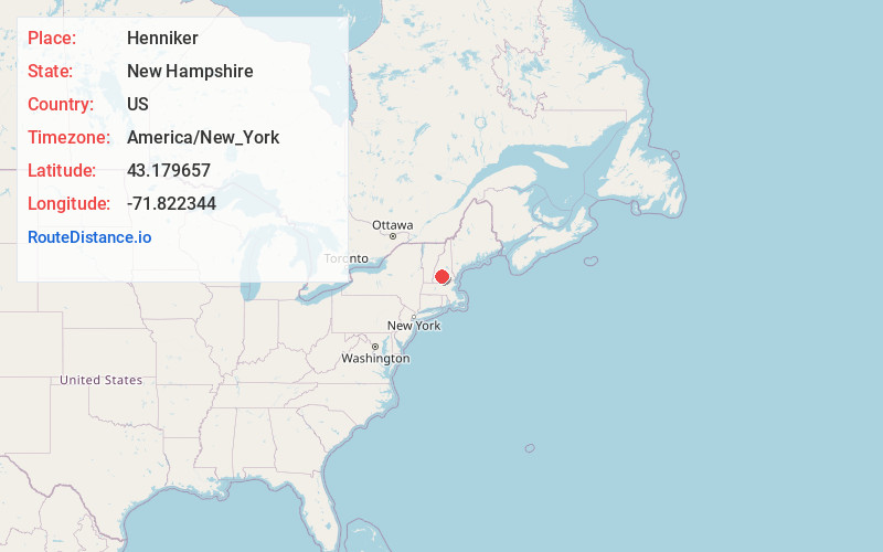
Full AddressHenniker, NH
-
Coordinates43.1796573, -71.8223439
-
LocationHenniker , New Hampshire , US
-
TimezoneAmerica/New_York
-
Current Local Time12:05:53 AM America/New_YorkThursday, June 19, 2025
-
Website
-
Page Views0
About Henniker
Henniker is a town in Merrimack County, New Hampshire, United States. As of the 2020 census, the reported total population of the town was 6,185, although the figure, 27.9% greater than the 2010 population, has been questioned by local officials. Henniker is home to New England College and Pats Peak Ski Area.


Nearby Places
Found 10 places within 50 miles

Hillsborough
5.8 mi
9.3 km
Hillsborough, NH
Get directions

Weare
7.5 mi
12.1 km
Weare, NH 03281
Get directions

Bow
14.2 mi
22.9 km
Bow, NH 03304
Get directions

Concord
14.4 mi
23.2 km
Concord, NH
Get directions

Goffstown
15.7 mi
25.3 km
Goffstown, NH
Get directions

Pembroke
19.2 mi
30.9 km
Pembroke, NH
Get directions

Franklin
20.3 mi
32.7 km
Franklin, NH
Get directions

Hooksett
21.5 mi
34.6 km
Hooksett, NH
Get directions

Newport
21.8 mi
35.1 km
Newport, NH 03773
Get directions

Peterborough
22.3 mi
35.9 km
Peterborough, NH
Get directions
Location Links
Local Weather
Weather Information
Coming soon!
Location Map
Static map view of Henniker, New Hampshire
Browse Places by Distance
Places within specific distances from Henniker
Short Distances
Long Distances
Click any distance to see all places within that range from Henniker. Distances shown in miles (1 mile ≈ 1.61 kilometers).