Distance to Henrieville, Utah

Calculating Your Route
Just a moment while we process your request...
Location Information
-
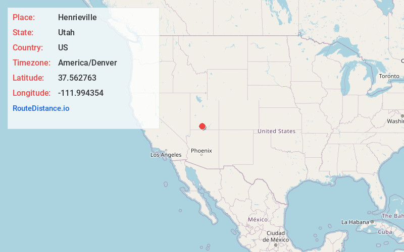
Full AddressHenrieville, UT 84736
-
Coordinates37.5627625, -111.9943535
-
LocationHenrieville , Utah , US
-
TimezoneAmerica/Denver
-
Current Local Time11:46:43 PM America/DenverFriday, May 30, 2025
-
Page Views0
About Henrieville
Henrieville is a town in Garfield County, Utah, United States, along Utah Scenic Byway 12. As of the 2020 census, the town population was 221.
The community was named after James Henrie, a Mormon leader.


Nearby Places
Found 10 places within 50 miles

Tropic
6.5 mi
10.5 km
Tropic, UT 84776
Get directions

Escalante
25.8 mi
41.5 km
Escalante, UT 84726
Get directions

Alton
28.1 mi
45.2 km
Alton, UT 84710
Get directions

Panguitch
30.1 mi
48.4 km
Panguitch, UT 84759
Get directions

Glendale
37.2 mi
59.9 km
Glendale, UT 84729
Get directions

Big Water
37.8 mi
60.8 km
Big Water, UT 84741
Get directions

Boulder
39.2 mi
63.1 km
Boulder, UT 84716
Get directions

Orderville
40.5 mi
65.2 km
Orderville, UT
Get directions

Circleville
44.7 mi
71.9 km
Circleville, UT
Get directions

Kingston
45.8 mi
73.7 km
Kingston, UT 84740
Get directions
Location Links
Local Weather
Weather Information
Coming soon!
Location Map
Static map view of Henrieville, Utah
Browse Places by Distance
Places within specific distances from Henrieville
Short Distances
Long Distances
Click any distance to see all places within that range from Henrieville. Distances shown in miles (1 mile ≈ 1.61 kilometers).