Distance to Hepburn, Ohio

Calculating Your Route
Just a moment while we process your request...
Location Information
-
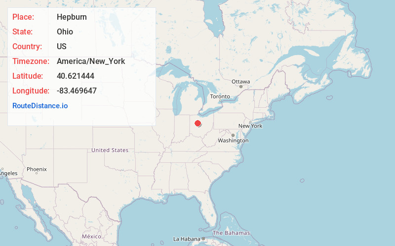
Full AddressHepburn, OH 43326
-
Coordinates40.6214444, -83.4696471
-
LocationHepburn , Ohio , US
-
TimezoneAmerica/New_York
-
Current Local Time4:01:33 AM America/New_YorkTuesday, June 10, 2025
-
Page Views0
About Hepburn
Hepburn is an unincorporated community in northern Dudley Township, Hardin County, Ohio, United States. It lies at the intersection of County Roads 144 and 227, 7+1⁄2 miles east of the center of the city of Kenton, the county seat of Hardin County. Along the south side of the community runs the Scioto River.
Nearby Places
Found 10 places within 50 miles

Dudley Township
2.1 mi
3.4 km
Dudley Township, OH
Get directions

Browns Crossroads
3.1 mi
5.0 km
Browns Crossroads, Dudley Township, OH 43326
Get directions
La Rue
5.4 mi
8.7 km
La Rue, OH 43332
Get directions

Mt Victory
6.6 mi
10.6 km
Mt Victory, OH 43340
Get directions
Marseilles
6.8 mi
10.9 km
Marseilles, OH
Get directions
Grassy Point
7.5 mi
12.1 km
Grassy Point, OH 43345
Get directions

Kenton
7.6 mi
12.2 km
Kenton, OH 43326
Get directions
New Bloomington
8.4 mi
13.5 km
New Bloomington, OH
Get directions
Ridgeway
9.2 mi
14.8 km
Ridgeway, OH 43345
Get directions
Patterson
11.4 mi
18.3 km
Patterson, OH 45843
Get directions
Location Links
Local Weather
Weather Information
Coming soon!
Location Map
Static map view of Hepburn, Ohio
Browse Places by Distance
Places within specific distances from Hepburn
Short Distances
Long Distances
Click any distance to see all places within that range from Hepburn. Distances shown in miles (1 mile ≈ 1.61 kilometers).