Distance to Hepzibah, West Virginia

Calculating Your Route
Just a moment while we process your request...
Location Information
-
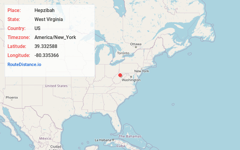
Full AddressHepzibah, WV
-
Coordinates39.3325883, -80.3353664
-
LocationHepzibah , West Virginia , US
-
TimezoneAmerica/New_York
-
Current Local Time11:26:19 PM America/New_YorkWednesday, June 18, 2025
-
Page Views0
About Hepzibah
Hepzibah is a census-designated place and coal town in Harrison County, West Virginia, United States. It is located on U.S. Route 19 and West Virginia Route 20, 3.5 miles north of Clarksburg.
Hepzibah has a post office with ZIP code 26369. As of the 2010 census, its population was 566.


Nearby Places
Found 10 places within 50 miles

Lumberport
2.9 mi
4.7 km
Lumberport, WV
Get directions
Despard
3.4 mi
5.5 km
Despard, WV 26301
Get directions

Clarksburg
3.6 mi
5.8 km
Clarksburg, WV
Get directions
East View
4.5 mi
7.2 km
East View, WV 26301
Get directions

Shinnston
4.7 mi
7.6 km
Shinnston, WV 26431
Get directions

Nutter Fort
4.9 mi
7.9 km
Nutter Fort, WV 26301
Get directions

Bridgeport
5.3 mi
8.5 km
Bridgeport, WV
Get directions

Anmoore
5.7 mi
9.2 km
Anmoore, WV
Get directions

Stonewood
5.8 mi
9.3 km
Stonewood, WV 26301
Get directions

Enterprise
6.8 mi
10.9 km
Enterprise, WV
Get directions
Location Links
Local Weather
Weather Information
Coming soon!
Location Map
Static map view of Hepzibah, West Virginia
Browse Places by Distance
Places within specific distances from Hepzibah
Short Distances
Long Distances
Click any distance to see all places within that range from Hepzibah. Distances shown in miles (1 mile ≈ 1.61 kilometers).